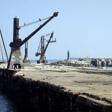
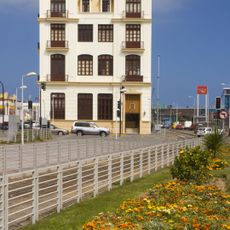
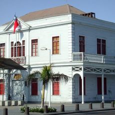
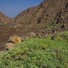
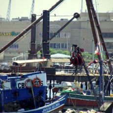
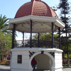
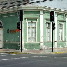
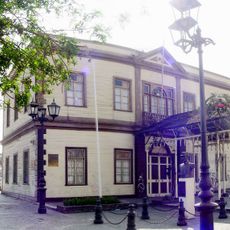
Cerro Moreno, Mountain summit near Antofagasta, Chile.
Cerro Moreno, also called Morro Moreno, is a hill in the Mejillones peninsula in the Antofagasta commune, Chile. The sources give its summit as 1,148 m above sea level (the Swedish article states 1,116 m). Andrés Sabella Gálvez National Airport, formerly named after the hill, lies on its lower slopes, and since 15 April 2010 the hill has been part of Morro Moreno National Park.
Chilean historians hold that Morro Moreno marked the northern limit of the Captaincy General of Chile, bordering Peru. Bishop fray Reginaldo de Lizárraga named it in 1605, at 23°31', as the boundary between Chile and Peru. From around 1600 the encomendero Francisco de Riberos Figueroa held the coast from Copiapó to Morro Moreno, a grant renewed in 1637 and again in 1708.
The name Morro Moreno appears in colonial documents: Bishop Reginaldo de Lizárraga placed the Chile–Peru boundary at this hill in a 1605 description written for the Count of Lemus. From about 1600 the encomendero Francisco de Riberos Figueroa held the coast Indians from Copiapó to Morro Moreno, a grant renewed for his descendants in 1637 and 1708.
A dirt road provides access to parking areas near the park entrance where the hiking trail begins. The climb requires stamina and planning, so visitors should start early and bring plenty of water.
Cerro Moreno marks the northern limit that Chilean historians assign to the Captaincy General of Chile. Bishop Reginaldo de Lizárraga placed the boundary with Peru at 23°31' in a 1605 description written for the Count of Lemus, president of the Council of the Indies.
The community of curious travelers
AroundUs brings together thousands of curated places, local tips, and hidden gems, enriched daily by 93,438 contributors worldwide.