
Congas District, district in Ancash, Peru
Location: Ocros Province
Capital city: Congas
Elevation above the sea: 3,055 m
Shares border with: Huayllacayán District, Ocros District, San Pedro District, Colquioc District
GPS coordinates: -10.33306,-77.45000
Latest update: April 1, 2025 21:06
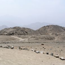
Caral
62.9 km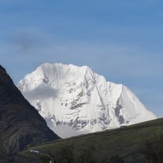
Siula Grande
61.3 km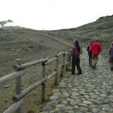
Nevado Pastoruri
53.2 km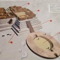
Aspero
62.4 km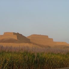
Paramonga
55.7 km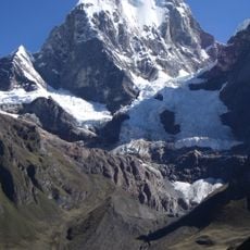
Yerupajá
60.1 km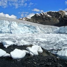
Pastoruri Glacier
54.5 km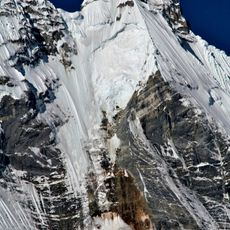
Jirishanca
60.6 km
Hatun Mach'ay
29.3 km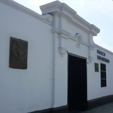
Museo Bolivariano de Pativilca
54.2 km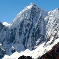
Rasac
58.3 km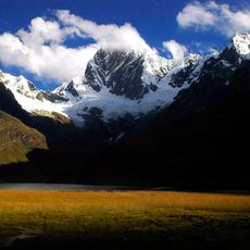
Rondoy
59.7 km
Cordillera Huayhuash Reserved Zone
65.1 km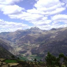
Kikash
49.2 km
Auxilio
53.1 km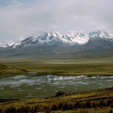
Caullaraju
47.9 km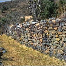
Choquerecuay
69.6 km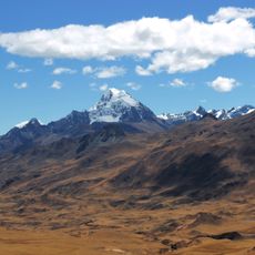
Huacshash
52.7 km
Rajucollota
51.6 km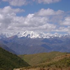
Huacrish
53.4 km
Ichic Jeulla
45.4 km
Suerococha
52.2 km
Huallanca
64.5 km
Chuspi
65.1 km
Kuntur Wayi
62.5 km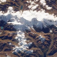
Jullutahuarco
52.1 km
Wishka Hirka
44.9 km
Qullqan
54.3 kmReviews
Visited this place? Tap the stars to rate it and share your experience / photos with the community! Try now! You can cancel it anytime.
Discover hidden gems everywhere you go!
From secret cafés to breathtaking viewpoints, skip the crowded tourist spots and find places that match your style. Our app makes it easy with voice search, smart filtering, route optimization, and insider tips from travelers worldwide. Download now for the complete mobile experience.

A unique approach to discovering new places❞
— Le Figaro
All the places worth exploring❞
— France Info
A tailor-made excursion in just a few clicks❞
— 20 Minutes