Enable Location

We need your location to show you interesting places around you

Discover nearby places

Find interesting locations and hidden gems around you

Precise directions

Get accurate directions and distances to places

Your location is never shared with other users. It's only used when you tap the location button.

Huanta District

Log in to your account

Start exploring — it's free

Trusted by 62,857 travelers worldwide

Continue with Google
Continue with Apple
or

We will send you a code to connect

By continuing, you accept our Terms and Conditions and our Privacy Policy

Check your inbox

We've sent a pincode in your inbox. Please enter the code below.

Huanta District

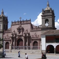
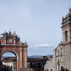
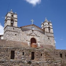
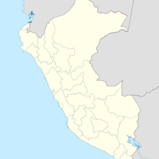
Huanta District, Administrative district in Ayacucho Region, Peru.

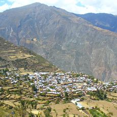
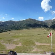
Huanta District is located in the northern part of Ayacucho Region and comprises both the main urban center and surrounding rural communities. The territory connects several smaller settlements through local roads and includes areas used for farming and livestock at different elevations.

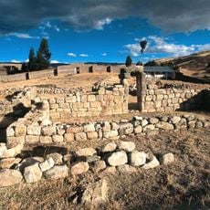
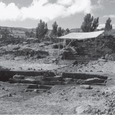
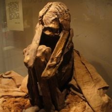
The district became involved in local uprisings in the early 19th century when residents participated in resistance movements against the newly formed state. These events left their mark on the local community and shaped how people remember their past.

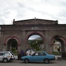
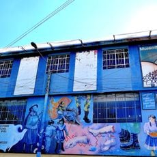
Quechua is the main language spoken here, and you will hear it in daily conversations and see traditions reflected in local practices and celebrations. These customs shape how residents interact and spend their time throughout the year.

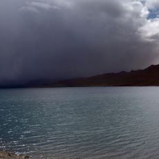
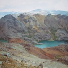
The area is connected to neighboring districts by local roads, allowing movement between communities. Visitors should plan for the elevation and how it may affect them during their stay.

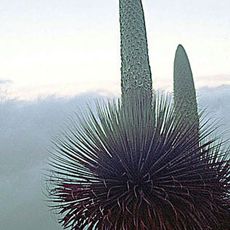
The territory spans different elevations where varied farming methods and ways of living are practiced across the landscape. These height differences create a range of natural resources and agricultural products that support the local economy.

The community of curious travelers

AroundUs brings together thousands of curated places, local tips, and hidden gems, enriched daily by 60,000 contributors worldwide.

Start exploring
Location
Capital city
Huanta
Elevation above the sea
2,628 m
Shares border with
Chaca District, Uchuraccay District, Tambo District, Huamanguilla District, Iguain District, Chincho District, Luricocha District
GPS coordinates
-12.93972,-74.24750
Latest update
December 8, 2025 13:40
« Huanta District - Administrative district in Ayacucho Region, Peru » is provided by Around Us (aroundus.com). Images and texts are derived from Wikimedia project under a Creative Commons license. You are allowed to copy, distribute, and modify copies of this page, under the conditions set by the license, as long as this note is clearly visible.

Discover hidden gems everywhere you go!

From secret cafés to breathtaking viewpoints, skip the crowded tourist spots and find places that match your style. Our app makes it easy with voice search, smart filtering, route optimization, and insider tips from travelers worldwide. Download now for the complete mobile experience.

Around Us App Screenshot

A unique approach to discovering new places

Le Figaro

All the places worth exploring

France Info

A tailor-made excursion in just a few clicks

20 Minutes

Around Us
Travel Guide & Maps
Download

Send to your phone

QR Code
1

Open the camera app on your mobile.

2

Point at the QR code with your camera. A notification will appear.

3

Tap the notification to open the link.