Himalayas, Mountain range in Nepal, India, and China.
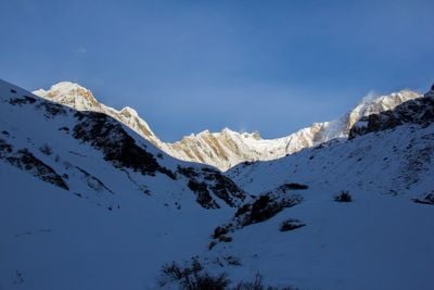
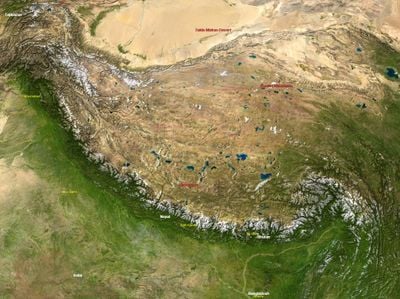
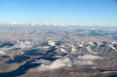
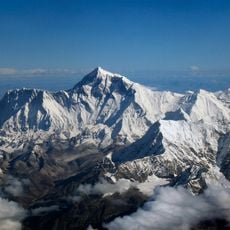
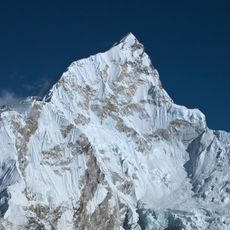
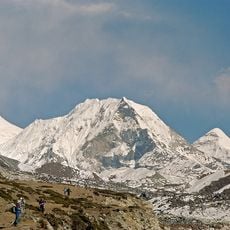
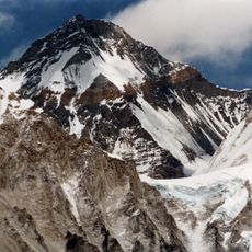
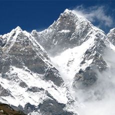
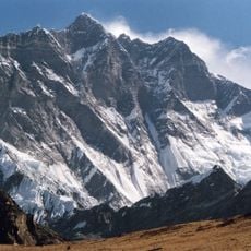
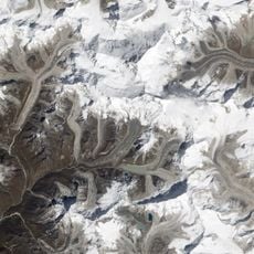
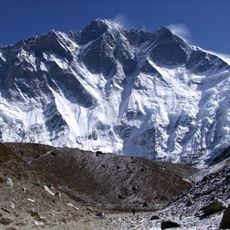
The Himalayas stretch 2,400 kilometers across Asia, forming a natural boundary between the Indian subcontinent and the Tibetan Plateau. The range includes several parallel zones with different elevations, where snow-covered peaks rise above deep valleys and high plateaus.
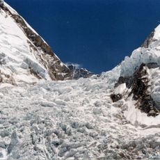
The formation of these mountains began roughly 70 million years ago when the Indian tectonic plate collided with the Eurasian landmass. This collision continues to push the crust upward, causing the peaks to rise each year.
Mountain villages follow old customs, and travelers often meet pilgrims walking to sacred sites or hanging prayer flags at passes. Local communities maintain rituals that honor the mountains as living beings, and visitors can watch monks during daily ceremonies.
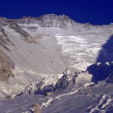
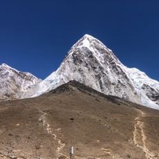
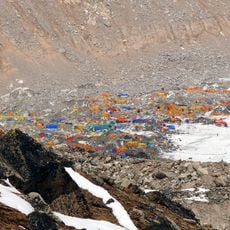
The best months for mountain expeditions fall between March and May, and again from September to November, when weather conditions are more stable. Travelers should take altitude sickness seriously and allow enough time for acclimatization, especially in regions above 10,000 feet (3,000 meters).
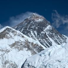
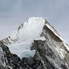
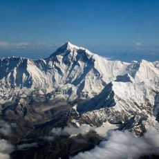
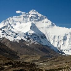
The range holds all mountains on Earth that exceed 8,000 meters in elevation, including Mount Everest at 8,848 meters (29,029 feet). Glaciers and snowmelt from this region feed major river systems that supply water to millions of people.
The community of curious travelers
AroundUs brings together thousands of curated places, local tips, and hidden gems, enriched daily by 60,000 contributors worldwide.