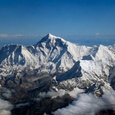
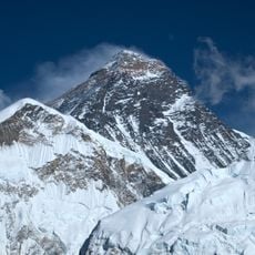
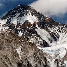
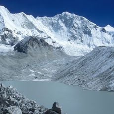
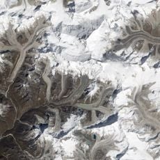
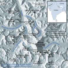
Western Cwm, Glacial valley in Mount Everest region, Nepal
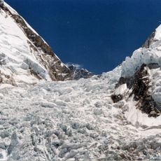
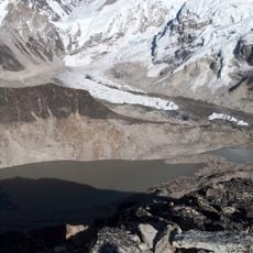
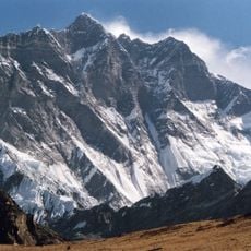
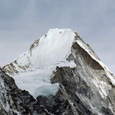
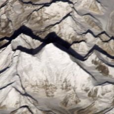
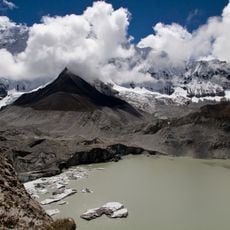
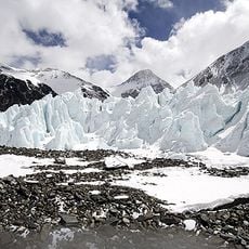
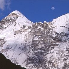
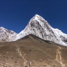
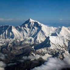
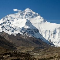
The Western Cwm is a broad, flat glacial basin positioned between 6000 and 6800 meters elevation, ending at the Lhotse Face. Massive lateral crevasses run through the central section, forcing mountaineers to navigate toward the Nuptse corner to progress.
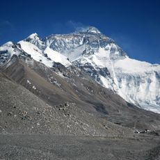
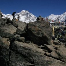
George Leigh Mallory identified and named this valley during the British Reconnaissance Expedition of 1921, marking the first exploration of Everest's upper sections. This early expedition opened the path for future climbing routes on the mountain.
The name comes from Welsh language, showing how European mountaineers influenced the naming of Himalayan features during early expeditions. You can see this terminology still used today in climbing maps and expedition records.
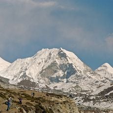
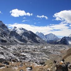
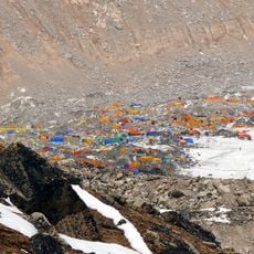
Reaching this high valley requires good altitude acclimatization and proper rope and anchor gear to handle the crevasse zone. Climbers should cross this section during stable weather and work with experienced guides who know the safe passage routes.
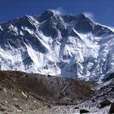
The snow-covered slopes surrounding this valley create a natural reflection effect that generates surprisingly higher temperatures despite the extreme altitude. Climbers often overlook this effect, though it noticeably influences local conditions.
The community of curious travelers
AroundUs brings together thousands of curated places, local tips, and hidden gems, enriched daily by 60,000 contributors worldwide.