Safēd Kōh, Mountain range at Afghanistan-Pakistan border
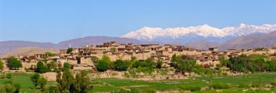
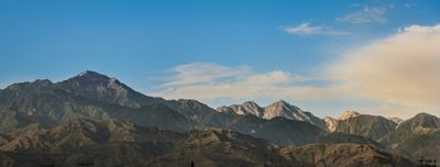
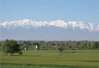
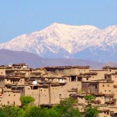
Safēd Kōh is a mountain range extending roughly 160 kilometers across the Afghanistan-Pakistan border, with its highest peak, Mount Sikaram, reaching about 4,755 meters. The mountains show distinct zones: lower slopes are barren and rocky, while higher elevations carry coniferous forests.
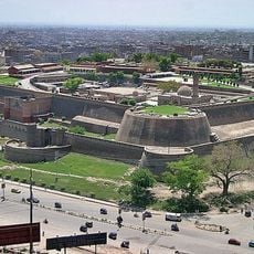
The Durand Line of 1893 established the mountain range as the boundary between Afghanistan and British India, creating a division that persists to this day. This border divided traditional territories and turned the mountain passes into controlled gateways between the two territories.
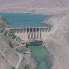
Mountain communities on both sides maintain agricultural traditions in the valleys, growing crops and raising livestock in rhythm with the seasons. These populations share similar ways of life and economic practices despite the international border that divides them.
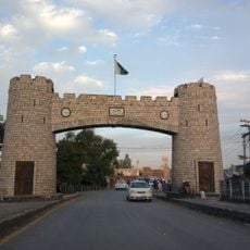
Several major passes cut through the mountains, including the Khyber Pass and Peiwar Pass, enabling movement between Afghanistan and Pakistan. Access varies significantly depending on the specific pass and current conditions, so visitors should check on specific routes before planning a visit.
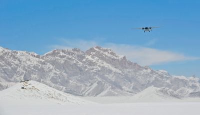
Cirque glaciers exist at the highest summits, small ice masses nestled in bowl-shaped depressions that are rare features in this region. These glacier remnants reveal the extreme conditions found at the greatest elevations.
The community of curious travelers
AroundUs brings together thousands of curated places, local tips, and hidden gems, enriched daily by 60,000 contributors worldwide.