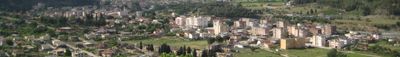
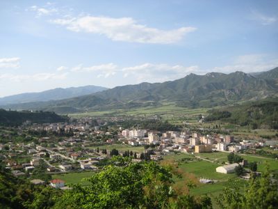
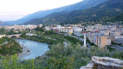
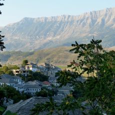
Përmet, town of Albania
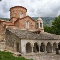
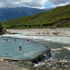
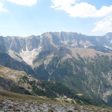
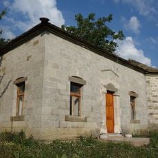
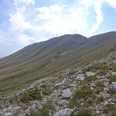
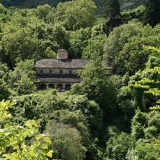
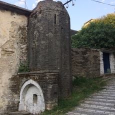
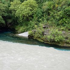
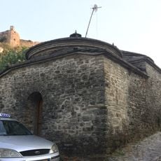
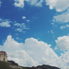
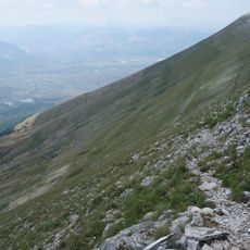
Përmet is a small town in southern Albania nestled in a mountainous region alongside the Vjosa river. It features narrow streets, traditional houses with simple architecture, and sits surrounded by tall peaks and clear waterways.
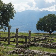
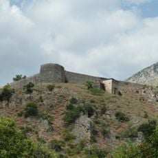
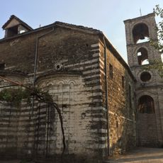
The town emerged as a trading center from the 15th century onwards, with shops and markets that filled its streets. During World War II it suffered severe damage, yet it became a meeting place for anti-fascist forces and remains linked to this pivotal period in Albanian history.
Rose cultivation defines daily life here, with red, pink and white flowers growing throughout private gardens and courtyards. The soft fragrance of blooms mingles with the morning air, shaping how residents and visitors experience the town.
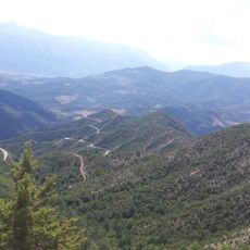
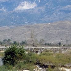
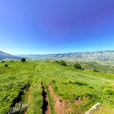
The best access is from the south via Gjirokastër through rolling terrain with steady roads. The town is small enough to explore on foot, with straightforward paths through the old quarter and clear routes to the river and mountains.
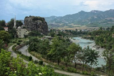
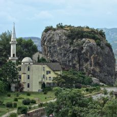
A massive stone outcrop called Guri i Qytetit rises about 82 feet (25 meters) above the town and is tied to a local legend about a brave woman who jumped from its peak. Visitors can climb it today and gain a wide view of Vjosa and surrounding valleys from the top.
The community of curious travelers
AroundUs brings together thousands of curated places, local tips, and hidden gems, enriched daily by 60,000 contributors worldwide.