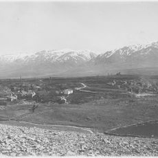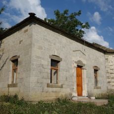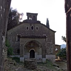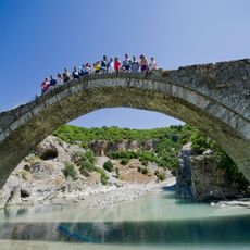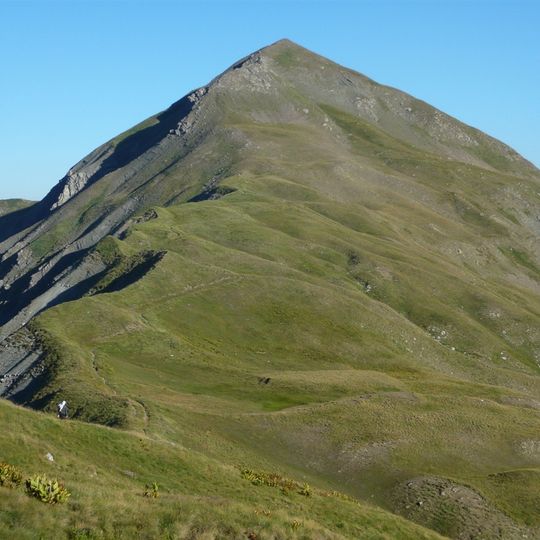
Gramos, Mountain range at Albania-Greece border.
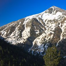
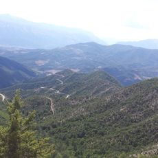
Gramos is a mountain range on the Albania-Greece border whose highest peak, Maja e Çukapeçit (Tsoúka Pétsik), reaches 2,523 m. The mass consists mainly of Paleogene flysch with limestone, and above 1,500–1,600 m glacial cirques and valleys are visible. Alpine meadows cover the northern and central parts, while beech and conifer forests grow in the south.
During the Greek Civil War of 1948–1949, Gramos was the main stronghold of the Democratic Army, and the provisional democratic government had its headquarters in the surrounding area. The mountain passed to the National Army only in 1949, ending the war; afterwards only a few isolated pockets remained under communist control. Decades of demining have not cleared every minefield, and some parts of the massif are still dangerous to enter.
The mountain's name appears as Gramoz in Albanian, Gramosta in Aromanian and Gramos in Greek, reflecting the Albanian, Aromanian and Greek communities around it. The main settlement at its western foot is Ersekë, while Gramos, Aetomilitsa, Starje and Plikati are villages within the range.
You can explore the area using marked trails accessible from both the Albanian and Greek sides, with the warmer months being the best time for hiking. Weather in higher elevations can change quickly, so being prepared for variable conditions helps make the visit more enjoyable.
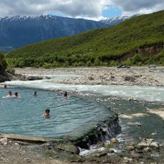
Above 1,500–1,600 m the massif carries cirques and glacial valleys cut into paleogene flysch, with limestone bands giving the rock its complex structure. The Aliakmonas, Greece's longest river to rise on Greek soil, has its sources on these slopes, as do branches of the Osum and Devoll.
The community of curious travelers
AroundUs brings together thousands of curated places, local tips, and hidden gems, enriched daily by 92,626 contributors worldwide.