
Getahovit, village in Tavush Province of Armenia
Location: Tavush Region
Elevation above the sea: 835 m
GPS coordinates: 40.89583,45.13139
Latest update: May 22, 2025 07:18
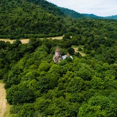
Makaravank
8.6 km
Дерево спарапетов в Иджеване
7.3 km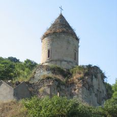
Nor Varagavank
6.8 km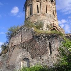
Srvegh Monastery
13.4 km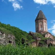
Kirants Monastery
17.5 km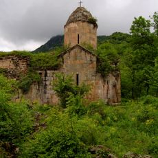
Arakelots church
16.3 km
Deghdznut Monastery
14.6 km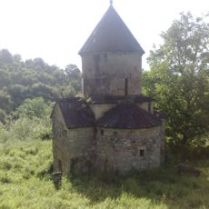
Tsrvizi monastery
5.6 km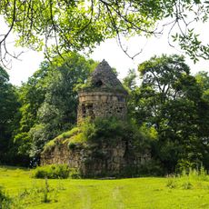
Kaptavank
18.8 km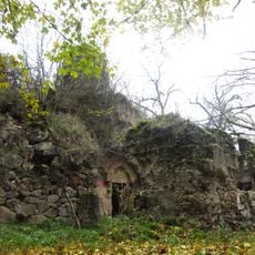
صومعه شخموراد
14.3 km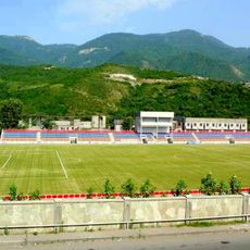
Arnar Stadium
1.7 km
Aghjkaberd
10.2 km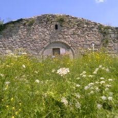
Okonavank
9.5 km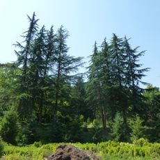
Ijevan Dendropark
3.3 km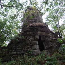
Samsoni Monastery
11.9 km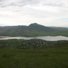
Berkaber Reservoir
18.6 km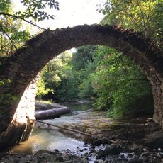
Sranotsi bridge
15.9 km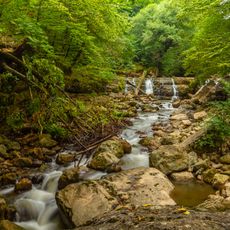
Иджеванский заказник
4.7 km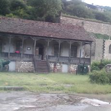
Ijevan Museum of History and Regional Studies
2.1 km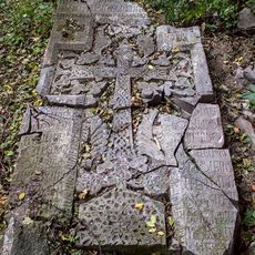
Deghdznut Monastery
14.6 km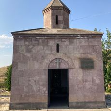
Սուրբ Մարիամ Աստվածածին մատուռ (Սարիգյուղ)
15.9 km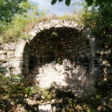
Սուրբ Աստվածածին եկեղեցի
13.4 km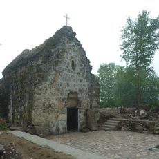
Mariam Mayri vank in Navur
17.3 km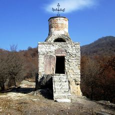
Holy Sunday Chapel
5.7 km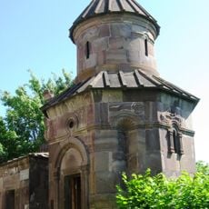
Սուրբ Աստվածածին եկեղեցի (Աչաջուր)
10.6 km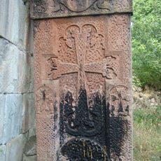
Khatchkar Surb Karapet
16.3 km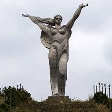
Statue of Mother Armenia in Ijevan
1.9 km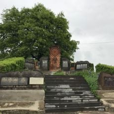
Artsakh War Memorial
17.1 kmReviews
Visited this place? Tap the stars to rate it and share your experience / photos with the community! Try now! You can cancel it anytime.
Discover hidden gems everywhere you go!
From secret cafés to breathtaking viewpoints, skip the crowded tourist spots and find places that match your style. Our app makes it easy with voice search, smart filtering, route optimization, and insider tips from travelers worldwide. Download now for the complete mobile experience.

A unique approach to discovering new places❞
— Le Figaro
All the places worth exploring❞
— France Info
A tailor-made excursion in just a few clicks❞
— 20 Minutes