Armenia–Azerbaijan border, International border between Armenia and Azerbaijan.
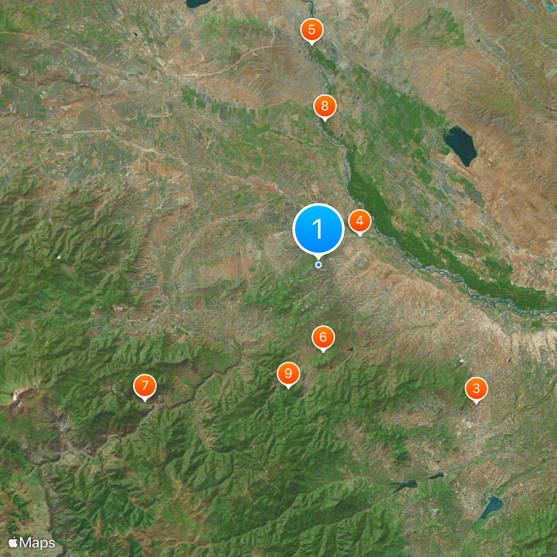
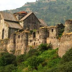
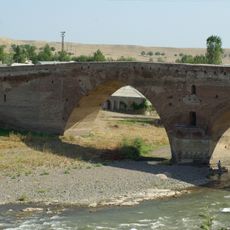
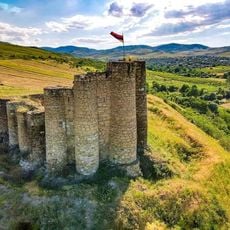
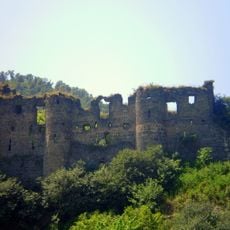
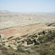
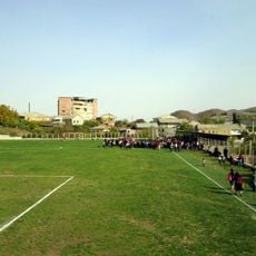
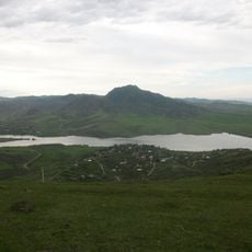
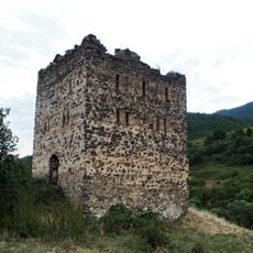
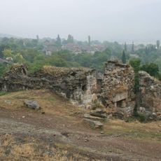
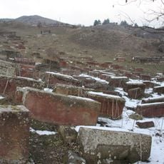
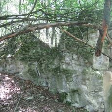
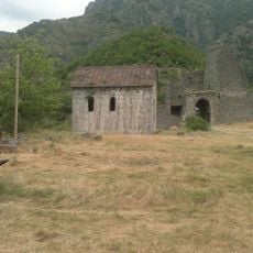
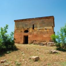
The Armenia–Azerbaijan border runs through mountainous terrain with significant elevation changes ranging from lower valleys to high mountain regions. The line is marked by steep slopes, river valleys, and rugged ground, with small settlements and villages scattered throughout the landscape on both sides.
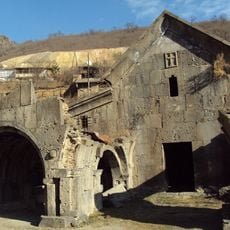
The border emerged after the collapse of the Russian Empire in 1918, when both countries declared independence and asserted different territorial claims. Since then, it has been shaped by multiple conflicts that repeatedly altered its control and exact placement.
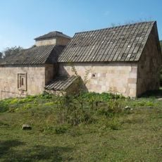
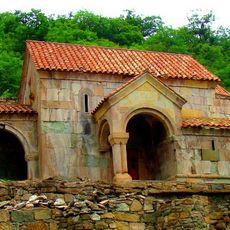
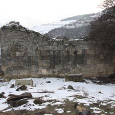
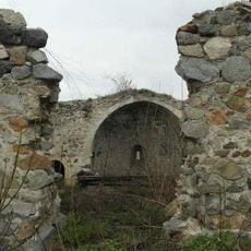
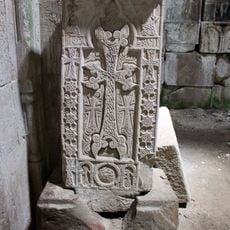
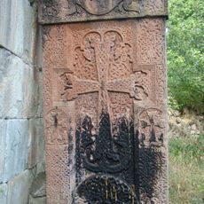
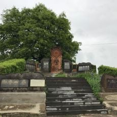
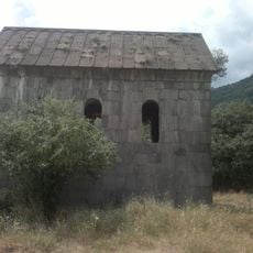
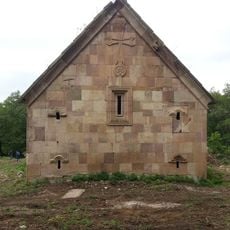
The boundary separates two peoples with distinct languages and traditions rooted in different historical paths. Communities on either side maintain their own customs, religious practices, and ways of life that shape daily experience in border villages.
Direct crossing at this border is not available for regular travelers, who must use alternative routes through neighboring countries instead. The mountainous terrain along the boundary is partly difficult to access and requires good physical fitness if you want to explore the region.
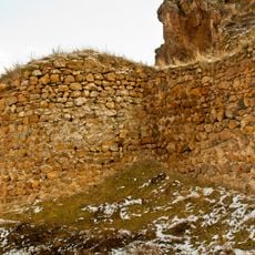
The boundary does not run in a simple straight line but makes several twists and turns, reflecting historical negotiations and compromises between the two nations. Much of the border line follows natural geographic features like mountain ridges and river courses that serve as physical dividing points.
The community of curious travelers
AroundUs brings together thousands of curated places, local tips, and hidden gems, enriched daily by 60,000 contributors worldwide.