
Amasia, village in Armavir Province of Armenia
Location: Armavir Region
Inception: 1930
Elevation above the sea: 890 m
GPS coordinates: 40.08333,43.96667
Latest update: March 6, 2025 18:48
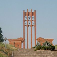
Sardarapat Memorial
2.1 km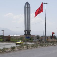
Iğdır Genocide Memorial and Museum
18.9 km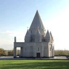
Quba Mere Diwane
17.8 km
Saint Gayane Church
28.9 km
Yervandashat
27.2 km
Armavir
5.7 km
Ակնալիճի եզդիական տաճար
17.7 km
Jubilee Stadium
11.3 km
Argisztihinili
5.7 km
Aruchavank
24.9 km
Metsamor site
19.3 km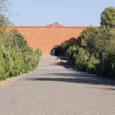
Armenia Ethnography Museum
7.2 km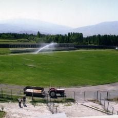
Iğdır-Şehir-Stadion
20 km
Sardar's Fortress
7.1 km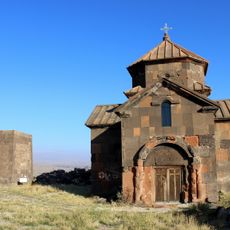
Saint Christopher Monastery
28.2 km
Kevork Chavoush Museum
28 km
Alex and Marie Manoogian Museum
28.6 km
Surb Astvatsatsin Church, Sardarapat
6.5 km
Yervandakert royal residence
25.8 km
Aruchavank
24.9 km
Church in St. Grigor church complex
24.8 km
Saint Stepanos church in Aragats, Armavir
27.4 km
Aruch Caravanserai
26.3 km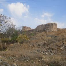
Castle in Aruch
24.5 km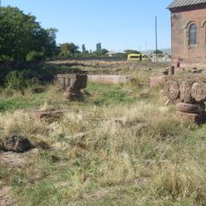
Palace in Aruch
24.8 km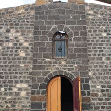
Surb Astvatsatsin Church, Arshaluys
23.1 km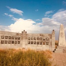
Հուշարձան` Երկրորդ աշխարհամարտում զոհվածներին
27.8 km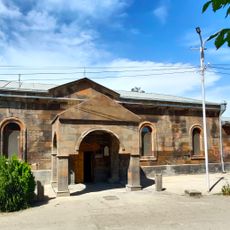
Եկեղեցի Սբ. Սարգիս (Սբ. Նշան)
28.9 kmReviews
Visited this place? Tap the stars to rate it and share your experience / photos with the community! Try now! You can cancel it anytime.
Discover hidden gems everywhere you go!
From secret cafés to breathtaking viewpoints, skip the crowded tourist spots and find places that match your style. Our app makes it easy with voice search, smart filtering, route optimization, and insider tips from travelers worldwide. Download now for the complete mobile experience.

A unique approach to discovering new places❞
— Le Figaro
All the places worth exploring❞
— France Info
A tailor-made excursion in just a few clicks❞
— 20 Minutes