
Cuando Cubango Province, Province in southeastern Angola
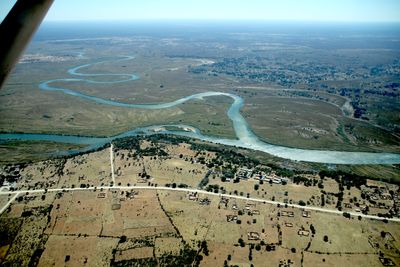
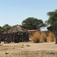
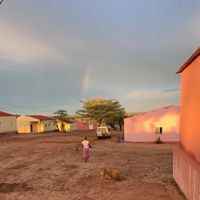
Cuando Cubango is a province in southeastern Angola, characterized by a vast semi-arid landscape shaped by two major rivers that define its borders. The terrain consists of scattered settlements, bushland, and open plains with a sparse population spread across several municipalities.
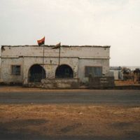
The province remained sparsely populated frontier territory until the late 20th century when it became central to regional conflict and military operations. This period fundamentally altered the region's development and left lasting impacts on its landscape and communities.
Several ethnic groups live here, each maintaining distinct traditions and ways of life that shape how communities interact with the land. Villages and daily activities reflect these different cultural practices across the semi-arid landscape.
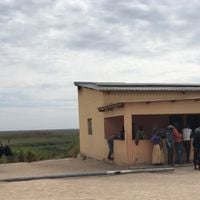
Menongue, the provincial capital, serves as the main access point with flight and road connections to other regions. Travel is easier during the dry season when roads are more passable than during rainy periods.
The region once housed a wild dog species that no longer exists here due to habitat destruction from military operations. This ecological shift reveals how conflicts can profoundly reshape the natural environment of entire territories.
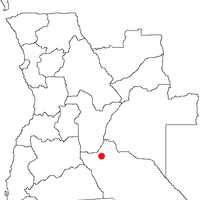
Location: Angola
Capital city: Menongue
Shares border with: Cunene Province, Huíla Province, Bié Province, Moxico Province, Ohangwena Region, Kavango West Region, Kavango East Region, Zambezi Region, Western Province
GPS coordinates: -16.08333,19.50000
Latest update: December 7, 2025 10:07
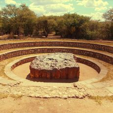
Hoba meteorite
424.4 km
Drachenhauchloch
418.3 km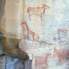
Tsodilo
381.1 km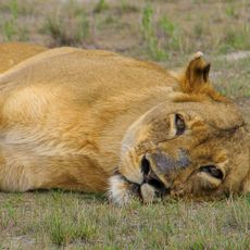
Liuwa Plain National Park
375.6 km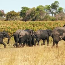
Bwabwata National Park
379 km
101 Battalion
211 km
Khaudom National Park
337.3 km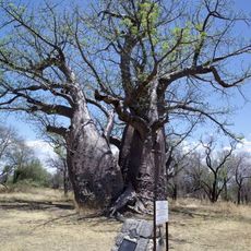
Baobab Tree
335.9 km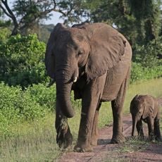
Luengue-Luiana National Park
255.4 km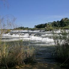
Popa Game Park
316.8 km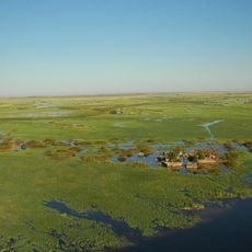
Mahango Game Park
273.8 km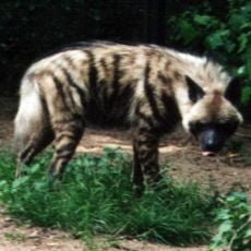
Mupa National Park
419.5 km
Mucusso National Park
283.4 km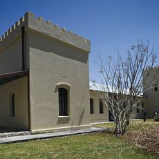
Fort Grootfontein
414 km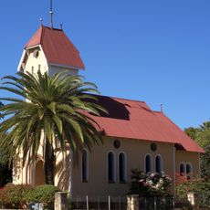
St. Barbara Catholic Church
399.5 km
Mavinga National Park
80.8 km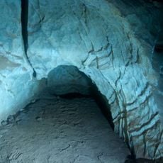
Ghaub Cave
416.6 km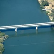
Baganibrücke
313.3 km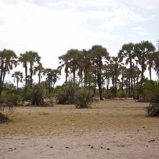
Omhedi Cultural Landscape
419.7 km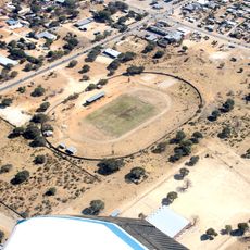
Rundu-Stadion
206.9 km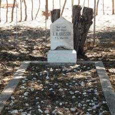
Grave of Axel W Eriksson
414.6 km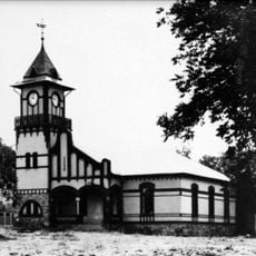
OMEG-Minenbüro
400.2 km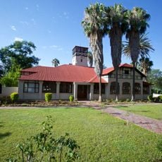
Second Director's House
400.2 km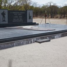
Monument of the Unknown PLAN Soldiers at Ondeshifiilwa
414.2 km
House of the first Native Commissioner of Kavango
206.7 km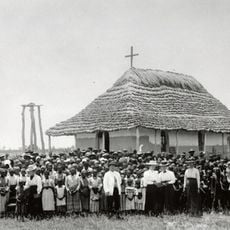
Nakambale House, Church and Cemetery
427.7 km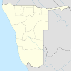
Rundu Rurale Est
207.9 km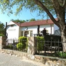
German Private School
400.2 kmVisited this place? Tap the stars to rate it and share your experience / photos with the community! Try now! You can cancel it anytime.


Discover hidden gems everywhere you go!
From secret cafés to breathtaking viewpoints, skip the crowded tourist spots and find places that match your style. Our app makes it easy with voice search, smart filtering, route optimization, and insider tips from travelers worldwide. Download now for the complete mobile experience.

A unique approach to discovering new places❞
— Le Figaro
All the places worth exploring❞
— France Info
A tailor-made excursion in just a few clicks❞
— 20 Minutes