
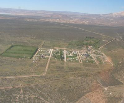
Lago Posadas, Rural settlement in Río Chico Department, Argentina.
The municipality stretches along the shores of a triangular lake covering 45.3 square kilometers at an elevation of 183 meters above sea level.
The settlement originated in the 1920s around Posadas ranch and its general store, which later became a critical stop for livestock and wool transportation.
Local residents maintain traditions through rural tourism establishments, preserving the heritage of early sheep farming families who first settled in the region.
Access requires a 75-kilometer gravel road detour from Route 40 at Bajo Caracoles, with no regular public transportation services available to reach the locality.
The northeastern shore features volcanic tuff cliffs without vegetation, while the southern edge contains fluvial-glacial formations bordered by native shrub thickets.
Location: Río Chico Department
Elevation above the sea: 183 m
GPS coordinates: -47.56583,-71.74000
Latest update: March 7, 2025 18:07
Argentina extends across multiple climate zones and contains numerous geological formations. The country encompasses high mountain ranges in the Andes, salt flats in the northwest, rock formations in Patagonia, and extensive grasslands. These areas display the region's geological history and the adaptation of human settlements to different environments. The sites include volcanic craters, thermal springs, canyons, and historic villages. Many of these locations lie away from main routes and require several hours of travel. The regions document pre-Columbian cultures, colonial history, and traditional ways of life that continue today.
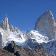
Patagonia displays glaciers, lakes and mountains. This region offers natural landscapes with ancient forests, ice formations and peaks. The locations spread across an area between Chile and Argentina, with national parks, waterfalls and geological formations.
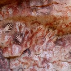
Cueva de las Manos
93.7 km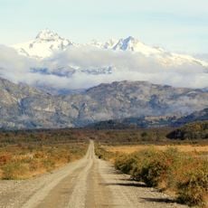
Carretera Austral
114.7 km
Catedral de Mármol
121.8 km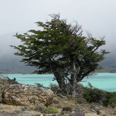
Perito Moreno National Park
47 km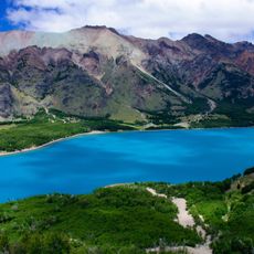
Patagonia National Park
81.3 km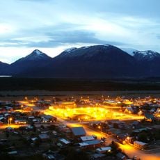
Villa O'Higgins
117.6 km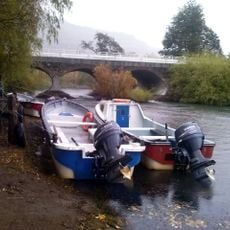
Puerto Río Tranquilo
126.6 km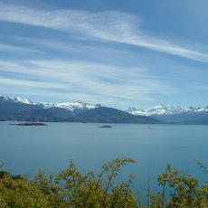
Laguna San Rafael National Park
155.6 km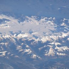
Northern Patagonian Ice Field
147.1 km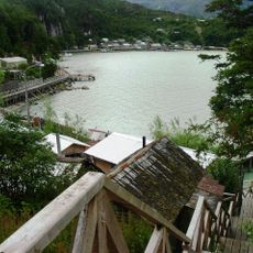
Caleta Tortel
137.3 km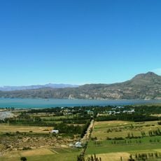
Puerto Ingeniero Ibáñez
142.6 km
Cerro San Lorenzo
43 km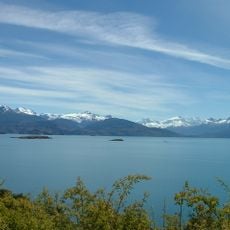
Monte San Valentin
162.7 km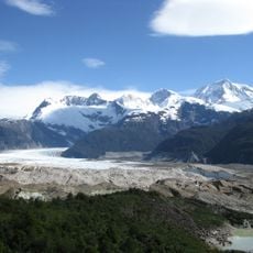
Exploradores Glacier
160.6 km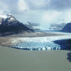
Nef Glacier
128.7 km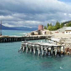
Campamento minero Puerto Cristal
122 km
Lago Jeinimeni National Reserve
81.7 km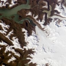
Jorge Montt Glacier
158.6 km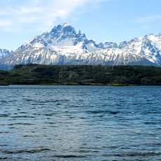
Lago Cochrane Nature Reserve
67.8 km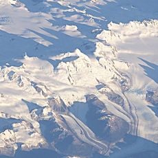
Arenales
136.7 km
Colonia Glacier
124.8 km
Steffen Glacier
149.1 km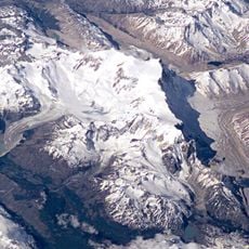
Calluqueo Glacier
51.9 km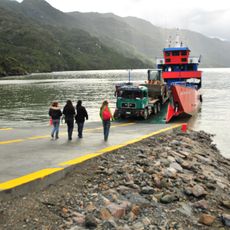
Mitchell Fjord
125 km
Bodegas portuarias del río Ibáñez
142.2 km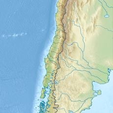
Leones Glacier
142 km
Museo De Arqueología Carlos Gradin
124.7 km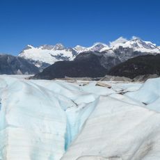
Glaciar Exploradores
157.6 kmReviews
Visited this place? Tap the stars to rate it and share your experience / photos with the community! Try now! You can cancel it anytime.
Discover hidden gems everywhere you go!
From secret cafés to breathtaking viewpoints, skip the crowded tourist spots and find places that match your style. Our app makes it easy with voice search, smart filtering, route optimization, and insider tips from travelers worldwide. Download now for the complete mobile experience.

A unique approach to discovering new places❞
— Le Figaro
All the places worth exploring❞
— France Info
A tailor-made excursion in just a few clicks❞
— 20 Minutes