
Cholila, Argentina, Mountain settlement in Chubut, Argentina.
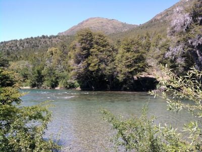
Located at 560 meters elevation, Cholila extends across four valleys: El Cajon, El Rincon, El Blanco, and Villa Lago Rivadavia in the Andean foothills.
European and Syrian-Lebanese immigrants established Cholila in the late nineteenth century, developing agricultural practices and livestock production in the fertile valleys.
The Provincial Barbecue Festival takes place each February, bringing together local residents to share traditional Patagonian cooking methods and regional entertainment.
The town offers various accommodation options near Lake Mosquito, where visitors can fish for trout and access hiking trails through Provincial Route 15.
Butch Cassidy, the American outlaw, resided in a cabin in El Blanco Valley during his time in South America, leaving a lasting mark on local history.
Location: Chubut
Elevation above the sea: 560 m
Address: Cholila, Chubut Province, Argentina 9127 Cholila
GPS coordinates: -42.51127,-71.43122
Latest update: June 2, 2025 15:45
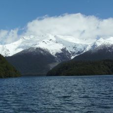
Argentina extends across multiple climate zones and contains numerous geological formations. The country encompasses high mountain ranges in the Andes, salt flats in the northwest, rock formations in Patagonia, and extensive grasslands. These areas display the region's geological history and the adaptation of human settlements to different environments. The sites include volcanic craters, thermal springs, canyons, and historic villages. Many of these locations lie away from main routes and require several hours of travel. The regions document pre-Columbian cultures, colonial history, and traditional ways of life that continue today.
Los Alerces National Park
50.5 km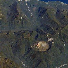
Chaitén
106 km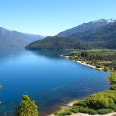
Lago Puelo National Park
42 km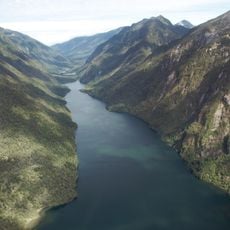
Pumalín Park
87.7 km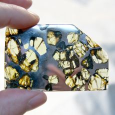
Esquel (meteorite)
44 km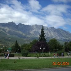
Cerro Piltriquitrón
58.6 km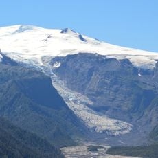
Michinmahuida
89 km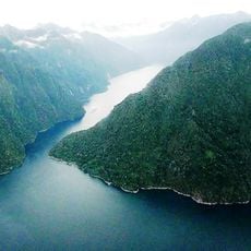
Quintupeu Fjord
88.3 km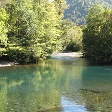
Hornopirén National Park
96.8 km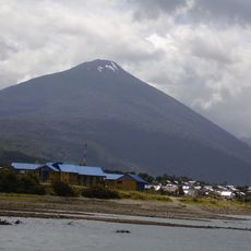
Hornopirén
108.6 km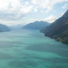
Comau Fjord
85.6 km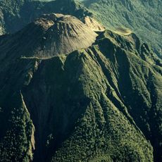
Volcán Huequi
95.6 km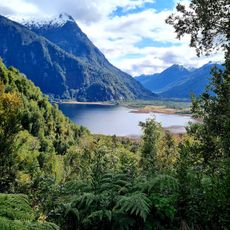
Parque Nacional Pumalín
101.9 km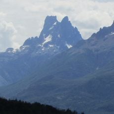
Cerro Dos Picos
41.5 km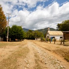
Segundo Corral
60.1 km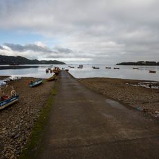
Caleta El Manzano
114.2 km
Porcelana (Chile)
83.9 km
Cerro Currumahuida
54.9 km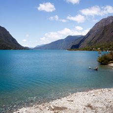
Punta Canelo
113.8 km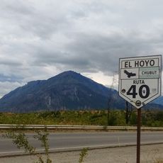
Cerro Pirque provincial park
40.4 km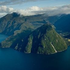
Reñihué Fjord
97.9 km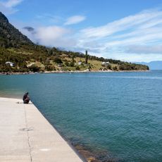
Caleta Pichanco
94.7 km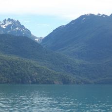
Cerro Aguja Sur
51.1 km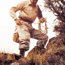
Cerro Situación
52.8 km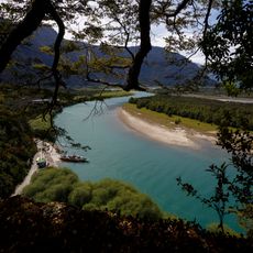
Punta Maldonado (Cochamó)
106.7 km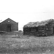
Capel Bethel, Trevelin
64.7 km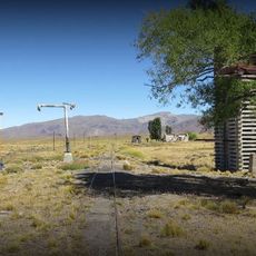
Fitalancao train station
100.7 km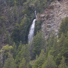
Cascada de la Virgen
76.2 kmReviews
Visited this place? Tap the stars to rate it and share your experience / photos with the community! Try now! You can cancel it anytime.
Discover hidden gems everywhere you go!
From secret cafés to breathtaking viewpoints, skip the crowded tourist spots and find places that match your style. Our app makes it easy with voice search, smart filtering, route optimization, and insider tips from travelers worldwide. Download now for the complete mobile experience.

A unique approach to discovering new places❞
— Le Figaro
All the places worth exploring❞
— France Info
A tailor-made excursion in just a few clicks❞
— 20 Minutes