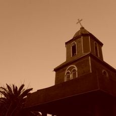
Lampa, Commune seat in Chacabuco Province, Chile
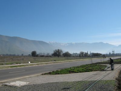
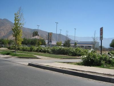
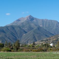
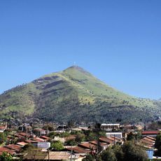
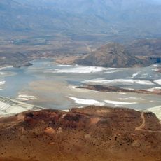
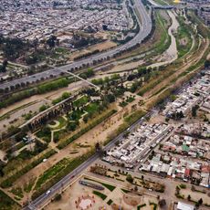
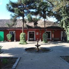
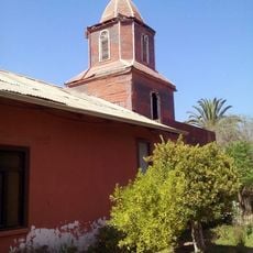
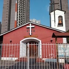
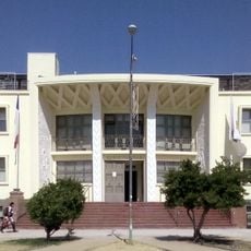
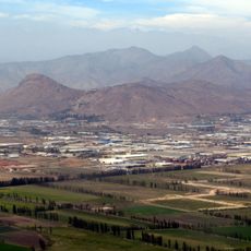
Lampa is a city in Chacabuco Province located within the Santiago Metropolitan Region at about 499 meters elevation. The city spreads across varied landscapes featuring plains and gently rolling hills.
The settlement was founded in 1888 under President Balmaceda's administration, building on an earlier Inca waypoint called "tambo viejo" that appeared on maps from 1611. This progression from an ancient Inca rest stop to a modern city shows centuries of continuous human presence at this location.
The name Lampa comes from the Quechua word "llampa," meaning a miner's shovel, reflecting the area's deep roots in mining work. This name origin connects the community to its past as a place where mining shaped daily life and livelihoods.
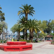
The city is easy to navigate with streets that connect different neighborhoods, allowing visitors to move around comfortably. The flat terrain in many areas makes walking pleasant, though hilly sections may have steeper paths.
Excavations have uncovered 21 archaeological sites containing stone tools and artifacts left by hunter-gatherer groups who lived before Spanish colonization arrived. These discoveries reveal that people were active in this region for thousands of years before the city was formally established.
Location: Chacabuco Province
Inception: 1888
Capital city: Lampa
Elevation above the sea: 499 m
Website: http://lampa.cl
GPS coordinates: -33.28333,-70.90000
Latest update: December 20, 2025 02:04
Cerro La Campana
20.8 km
Mundomágico
25.4 km
Centro Cultural Casona Dubois
24.4 km
Parque de la Familia
25.8 km
Memorial Tres Sillas
17.4 km
Cerro Renca
21.3 km
Gruta de Nuestra Señora de Lourdes
26.3 km
Tranque Las Tórtolas
22.8 km
Museo de Ciencia y Tecnología
26.6 km
Memorial Puente Bulnes, Muro de la Memoria y Plaza Joan Alsina
26.6 km
Museo Infantil
26.6 km
Población Los Castaños
26.3 km
Parque Santa Mónica
25.5 km
Estadio Municipal de Quilicura
16.8 km
Parque Mapocho Poniente
21.3 km
Plaza de Armas de Quilicura
18.3 km
Gimnasio Boston College
24.5 km
Capilla de Nuestra Señora del Trabajo
13.3 km
Casa de Av. Francia Nº 1442
26.5 km
Casa Consistorial de Conchalí
24.7 km
Iglesia de Tiltil
21.6 km
Capilla de Nuestra Señora del Carmen
26.5 km
Edificio Consitorial de Tiltil
22.2 km
Iglesia de Tiltil
21.6 km
Cerro Pan de Azúcar (Chile, Colina)
19.5 km
Memorial por los Detenidos Desaparecidos y Ejecutados Políticos, en Plaza de Armas de Curacaví
25.3 km
Casa patronal de la Chacra Lo Negrete
24.7 km
Monolito Recordatorio en frontis de la Municipalidad de Pudahuel
23.2 kmVisited this place? Tap the stars to rate it and share your experience / photos with the community! Try now! You can cancel it anytime.
Discover hidden gems everywhere you go!
From secret cafés to breathtaking viewpoints, skip the crowded tourist spots and find places that match your style. Our app makes it easy with voice search, smart filtering, route optimization, and insider tips from travelers worldwide. Download now for the complete mobile experience.
A unique approach to discovering new places❞
— Le Figaro
All the places worth exploring❞
— France Info
A tailor-made excursion in just a few clicks❞
— 20 Minutes