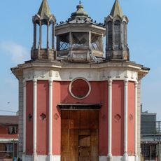
Chacabuco Province, Administrative province in Santiago Metropolitan Region, Chile
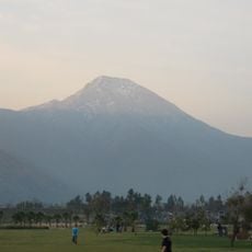
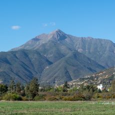
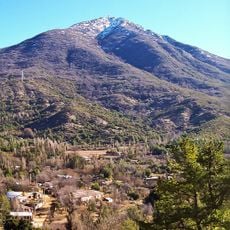
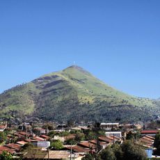
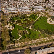
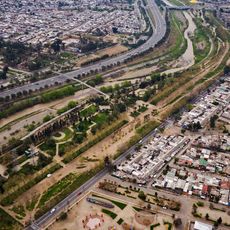
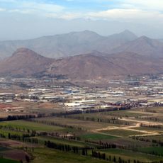
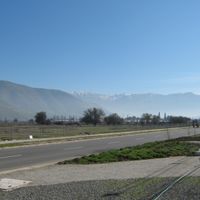
Chacabuco is a province north of Santiago that covers about 2,000 square kilometers (770 square miles) and includes three municipalities: Colina, Lampa, and Tiltil. The territory sits around 650 meters (2,130 feet) in elevation and blends urban areas with rural farmland.
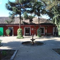
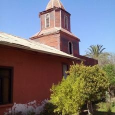
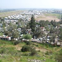
The province developed from early farming settlements into a defined administrative division that marks the northern edge of the Santiago Metropolitan Region. This shift shows how the area transformed from isolated rural communities into an organized part of the larger metropolitan system.
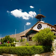
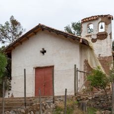
Communities here celebrate their connection to farming through local festivals and gatherings that bring people together throughout the year. These events shape how residents experience their connection to the land and to each other.
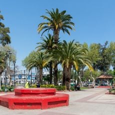
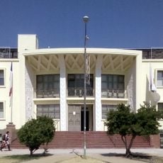
Colina, the provincial capital, connects to Santiago through major roads, making it straightforward to reach by car. The area keeps its rural feel while offering access to urban services and amenities nearby.
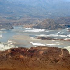
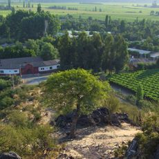
The region contains significant mining operations extracting copper, gypsum, and limestone, while fertile valleys support grain and grape farming. This combination of mining and agriculture shapes the economic landscape and how the land looks today.
Location: Santiago Metropolitan Region
Capital city: Colina
Elevation above the sea: 650 m
Website: http://gobernacionchacabuco.gov.cl
GPS coordinates: -33.13333,-70.76667
Latest update: December 7, 2025 10:06
Cerro Manquehue
29.7 km
Cerro La Campana
21.6 km
Santuario de Santa Teresa de Los Andes
28 km
Cerro El Roble
28.9 km
Memorial Tres Sillas
30.2 km
Cerro Renca
29.1 km
Tranque Las Tórtolas
3.1 km
Metropolitan Santiago Convention & Event Center
32.3 km
Palacio Riesco
31.9 km
Enjoy Santiago
24.3 km
Parque Santa Mónica
30.2 km
Estadio Municipal de Quilicura
26 km
Cerro El Roble Observatory
29 km
Parque Mapocho Poniente
31.3 km
Capilla de La Dormida
28.7 km
Plaza de Armas de Quilicura
26.3 km
Capilla del Retiro
27.2 km
Iglesia María Madre de la Misericordia
30 km
Capilla de Nuestra Señora del Trabajo
12.1 km
Iglesia de Quinta Bella
32.1 km
Casa Consistorial de Conchalí
30.6 km
Iglesia de Tiltil
14.9 km
Casa de Domingo Faustino Sarmiento
32.4 km
Iglesia de Tiltil
15 km
Edificio Consitorial de Tiltil
16.1 km
Cerro Pan de Azúcar (Chile, Colina)
21.2 km
Casa patronal de la Chacra Lo Negrete
30.6 km
Placas recordatorias a José Carrasco Tapia, en muro lateral del Parque del Recuerdo
30.4 kmReviews
Visited this place? Tap the stars to rate it and share your experience / photos with the community! Try now! You can cancel it anytime.
Discover hidden gems everywhere you go!
From secret cafés to breathtaking viewpoints, skip the crowded tourist spots and find places that match your style. Our app makes it easy with voice search, smart filtering, route optimization, and insider tips from travelers worldwide. Download now for the complete mobile experience.
A unique approach to discovering new places❞
— Le Figaro
All the places worth exploring❞
— France Info
A tailor-made excursion in just a few clicks❞
— 20 Minutes