Santiago Metropolitan Region

Log in to your account

AroundUs is a community-driven map of interesting places, built by curious explorers like you. It grows with every review, story, and photo you share.
Connect to save your favorite spots, contribute locations, and create personalized routes.
By continuing, you accept our Terms and Conditions and our Privacy Policy
Add to collection
Map
Suggest a change
Share

Santiago Metropolitan Region, Capital city in central valley, Chile

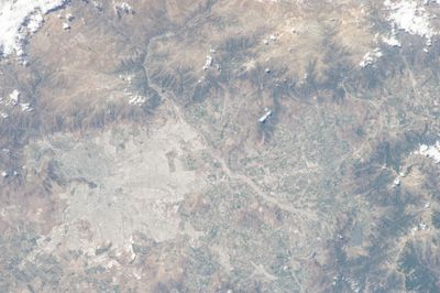
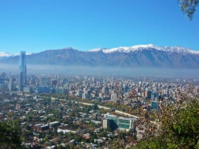
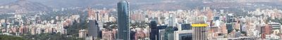
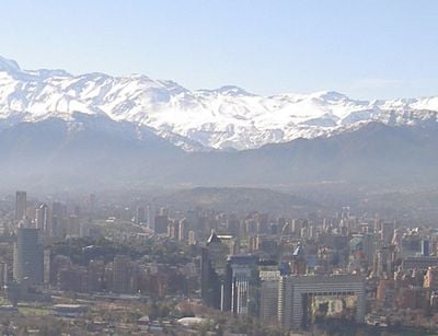
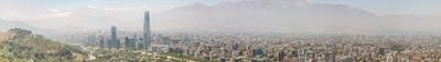
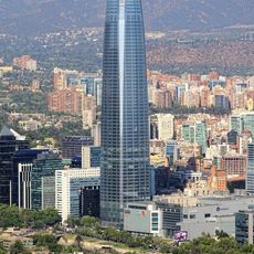
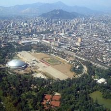
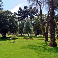
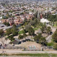
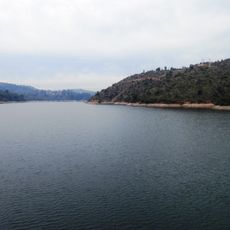
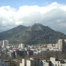
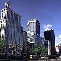
The Santiago Metropolitan Region spreads across the central valley between the Andes mountain chain and the Coastal Range, crossed by the Mapocho River that flows between residential districts and business centers. Parks run through the urban fabric while high-rises mark the skyline and alternate with lower buildings from different eras.

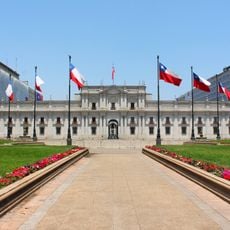
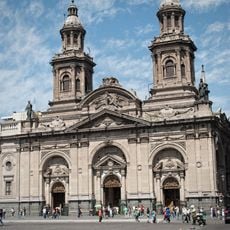
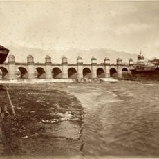
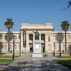
Pedro de Valdivia founded the settlement in February 1541 and laid out the first Plaza de Armas as the center from which streets spread in a grid pattern. Over the following centuries the city grew beyond its colonial boundaries and became the capital of the new republic after independence in 1818.

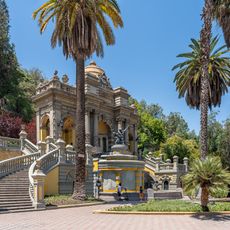
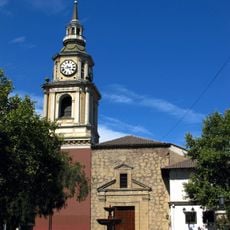
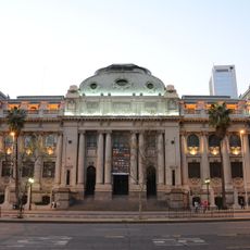
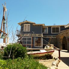
The name comes from Saint James, patron saint of Spain, whom the conquistadors honored. Today the region combines colonial churches with modern neighborhoods where residents meet in street cafés and use the parks for weekend picnics.

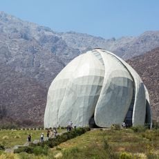
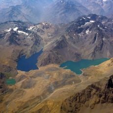
The Andes mountain chain provides a clear reference point to the east, while the neighborhoods spread westward from there. Air quality can become hazy in winter especially during mornings, so visiting higher parks in late morning or afternoon helps.

On clear days the entire Andes range is visible from the urban area, with snow-capped peaks appearing more or less white depending on the season. This line of sight changes throughout the day as light casts the mountains in different shades.

Location: Chile

Capital city: Santiago

Elevation above the sea: 544 m

Reference: RM

Shares border with: Valparaíso Region, O'Higgins Region, Mendoza Province

Website: http://gobiernosantiago.cl

GPS coordinates: -33.43778,-70.65028

Latest update: December 14, 2025 20:43

Photos
Must-see attractions in Chile, land of contrasts

Chile stretches over 2,670 miles (4,300 kilometers) from north to south, crossing some of South America's most varied landscapes. The north features the Atacama Desert with its salt flats, geysers at El Tatio, and astronomical observatories such as Paranal. The coastal city of Valparaíso displays...

Large cities of South America: megalopolises, capitals, and metropolises of the continent

This collection features the ten most populous cities in South America, which account for more than half of the continent's population. São Paulo leads with 12 million inhabitants and serves as Brazil's economic hub, while Lima extends along the Pacific coast and Bogotá develops at 2620 meters above...

Reviews

Visited this place? Tap the stars to rate it and share your experience / photos with the community! Try now! You can cancel it anytime.

« Santiago Metropolitan Region - Capital city in central valley, Chile » is provided by Around Us (aroundus.com). Images and texts are derived from Wikimedia project under a Creative Commons license. You are allowed to copy, distribute, and modify copies of this page, under the conditions set by the license, as long as this note is clearly visible.

Discover hidden gems everywhere you go!

From secret cafés to breathtaking viewpoints, skip the crowded tourist spots and find places that match your style. Our app makes it easy with voice search, smart filtering, route optimization, and insider tips from travelers worldwide. Download now for the complete mobile experience.

Around Us App Screenshot

A unique approach to discovering new places

Le Figaro

All the places worth exploring

France Info

A tailor-made excursion in just a few clicks

20 Minutes