
Macusani District, district in Puno, Peru
Location: Carabaya Province
Capital city: Macusani
Elevation above the sea: 4,315 m
Shares border with: Ollachea District, Ayapata District, Ituata District, Ajoyani District, Antauta District, Nuñoa District, Corani District
GPS coordinates: -14.06861,-70.43139
Latest update: March 19, 2025 18:12
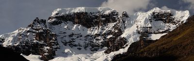
Apachita
71.4 km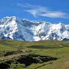
Ausangate
91.7 km
Queshuachaca
118.8 km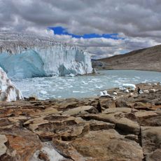
Quelccaya Ice Cap
44.7 km
Quimsachata
100.3 km
Kunka
73.8 km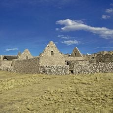
Kanamarka
124.2 km
Qulu Qulu
92.8 km
Tres Cañones Regional Conservation Area
123.5 km
Pukarani
131.8 km
Qullpa Ananta
87.3 km
Chimboya
71 km
Jolljepunco
103.8 km
Chumpe
80 km
Cinajara
105.6 km
Cunurana
68.7 km
Yana Khuchilla
70.6 km
Unollocsina
50.3 km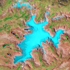
Yurac Huayruro
43.7 km
Jatun Quenamari
42.8 km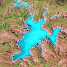
Millo (Cusco)
52.5 km
Pata Anjasi
38.3 km
Tarucani
40.7 km
Cuncunani
40.9 km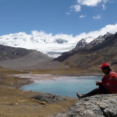
Cuncapata
76 km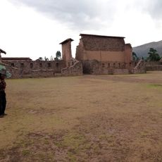
Temple of Wiracocha
102 km
Jachatira
41.9 km
Cunorana
45.4 kmReviews
Visited this place? Tap the stars to rate it and share your experience / photos with the community! Try now! You can cancel it anytime.
Discover hidden gems everywhere you go!
From secret cafés to breathtaking viewpoints, skip the crowded tourist spots and find places that match your style. Our app makes it easy with voice search, smart filtering, route optimization, and insider tips from travelers worldwide. Download now for the complete mobile experience.

A unique approach to discovering new places❞
— Le Figaro
All the places worth exploring❞
— France Info
A tailor-made excursion in just a few clicks❞
— 20 Minutes