
Omas District, district in Lima, Peru
Location: Yauyos Province
Elevation above the sea: 1,539 m
Shares border with: Quinocay District, Huampara District, Ayaviri District, Ayauca District, San Pedro de Pilas District, Tauripampa District, Coayllo District, Calango District
GPS coordinates: -12.51472,-76.28917
Latest update: March 4, 2025 02:07
Pachacamac
72.3 km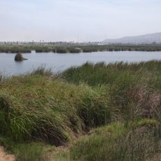
Pantanos de Villa Wildlife Refuge
83.1 km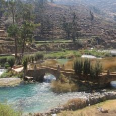
Nor Yauyos-Cochas Landscape Reserve
70.7 km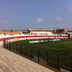
Estadio Iván Elías Moreno
77.5 km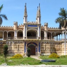
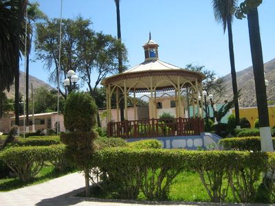
Palacio Unanue
65.7 km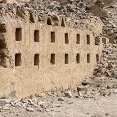
Inka Wasi
58 km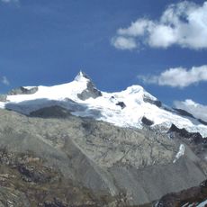
Pariacaca
66.4 km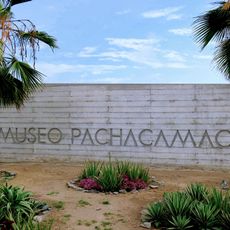
Pachacamac site Museum
73.1 km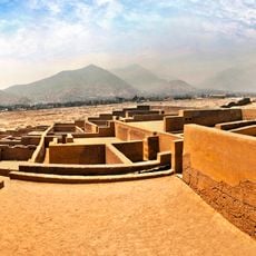
Huaycán de Pariachi
81.4 km
Zárate Forest Reserved Zone
68.7 km
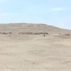
Pueblo Antiguo de Huaquis
56.7 km
National Museum of Archaeology, Peru
73.6 km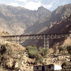
Verrugas Bridge
72.9 km
Estadio Municipal de La Molina
81 km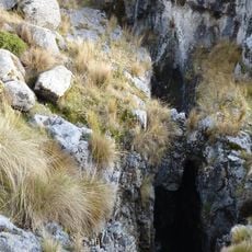
Sima Pumacocha
65.5 km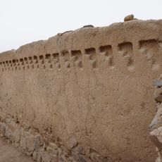
Huaycán de Cieneguilla
70.8 km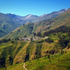
Ticlla
45.6 km
Omas River
44.4 km
National Museum of Peru
73.5 km
Wamp'una
68.2 km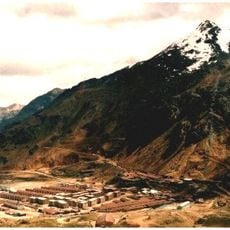
Chumpe (Junín)
91.1 km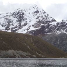
Llongote
42.4 km
Huayna Cotoni
43.1 km
Santa Eulalia River
77.7 km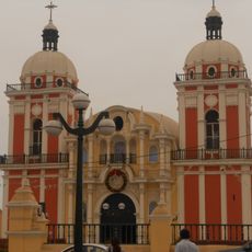
Iglesia de Nuestra Señora de la Asunción de Chilca
48.8 km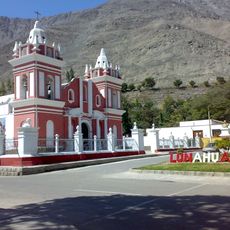
Iglesia de Lunahuana
52.5 km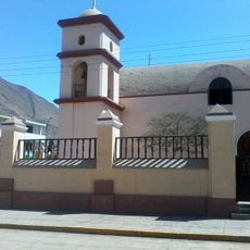
Iglesia de Calango
27.7 km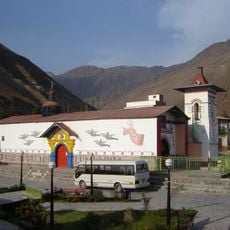
Iglesia del Espíritu Santo de Huamansica o Antioquía
54 kmReviews
Visited this place? Tap the stars to rate it and share your experience / photos with the community! Try now! You can cancel it anytime.
Discover hidden gems everywhere you go!
From secret cafés to breathtaking viewpoints, skip the crowded tourist spots and find places that match your style. Our app makes it easy with voice search, smart filtering, route optimization, and insider tips from travelers worldwide. Download now for the complete mobile experience.

A unique approach to discovering new places❞
— Le Figaro
All the places worth exploring❞
— France Info
A tailor-made excursion in just a few clicks❞
— 20 Minutes