Enable Location

We need your location to show you interesting places around you

Discover nearby places

Find interesting locations and hidden gems around you

Precise directions

Get accurate directions and distances to places

Your location is never shared with other users. It's only used when you tap the location button.

Rímac

Log in to your account

Join the adventure

Create your free account and start exploring (like 60k+ others)

We will send you a code to connect

or
Continue with Google
Continue with Apple
By continuing, you accept our Terms and Conditions and our Privacy Policy

Check your inbox

We've sent a pincode in your inbox. Please enter the code below.

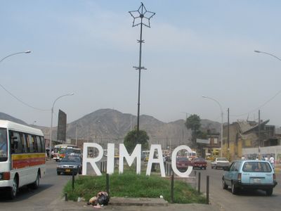
Rímac, Colonial district in Lima, Peru

Description

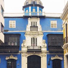
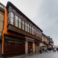
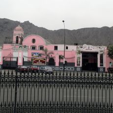
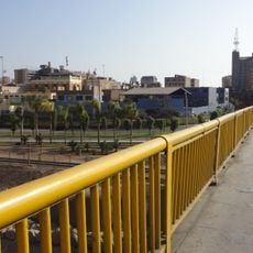
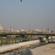
Rímac is a district extending north from downtown Lima, situated on both sides of the river that shares its name. The area features a dense network of streets lined with modest buildings, neighborhood shops, and public gathering spaces.

History

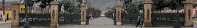
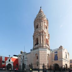
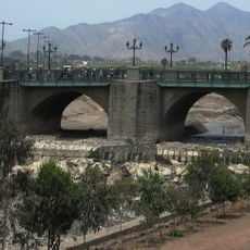
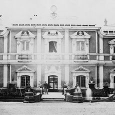
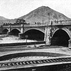
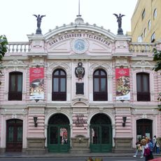
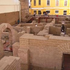
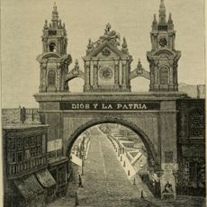
The district developed during the colonial period and was formally established as a separate administrative area in 1921. The Puente de Piedras, built in 1610, stands as one of the city's earliest stone bridges and marks this era of expansion.

Culture

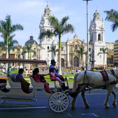
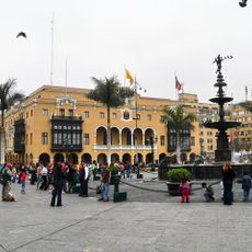
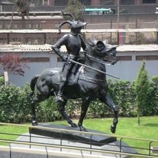
The district's name comes from the Quechua word Rímac, meaning 'speaking river,' and residents use public squares daily for trading and gathering. Traditional craftspeople and street vendors maintain longstanding commercial practices that shape daily life.

Practical

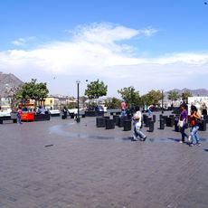
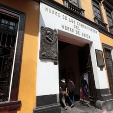
The district is served by public transportation and contains numerous local markets and street vendors throughout. Visitors should explore the busy commercial streets during daytime and be prepared for uneven terrain.

Did you know?

Cerro San Cristóbal rises as the highest point within the urban area and offers expansive views across the entire metropolitan region from its summit. The sight extends toward distant mountains and reveals Lima's geographic setting in a striking way.

Location
Shares border with
Lima District, San Martín de Porres District, Independencia, San Juan de Lurigancho
GPS coordinates
-12.03528,-77.02722
Latest update
December 7, 2025 10:07

AroundUs brings together thousands of curated places, local tips, and hidden gems, enriched daily by 60,000 contributors worldwide. Discover all places nearby (Lima province).

« Rímac - Colonial district in Lima, Peru » is provided by Around Us (aroundus.com). Images and texts are derived from Wikimedia project under a Creative Commons license. You are allowed to copy, distribute, and modify copies of this page, under the conditions set by the license, as long as this note is clearly visible.

Discover hidden gems everywhere you go!

From secret cafés to breathtaking viewpoints, skip the crowded tourist spots and find places that match your style. Our app makes it easy with voice search, smart filtering, route optimization, and insider tips from travelers worldwide. Download now for the complete mobile experience.

Around Us App Screenshot

A unique approach to discovering new places

Le Figaro

All the places worth exploring

France Info

A tailor-made excursion in just a few clicks

20 Minutes

Around Us
Travel Guide & Maps
Download

Send to your phone

QR Code
1

Open the camera app on your mobile.

2

Point at the QR code with your camera. A notification will appear.

3

Tap the notification to open the link.