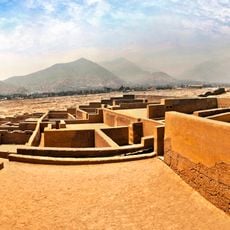
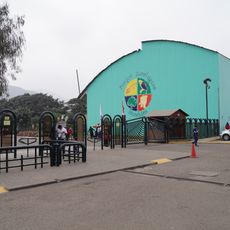
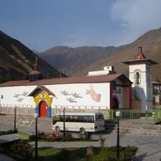
San Mateo District, Mountain district in Huarochirí Province, Peru.
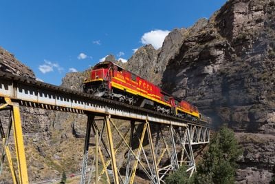
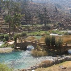
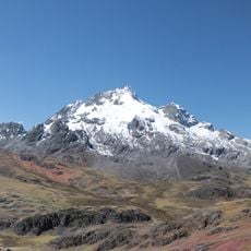
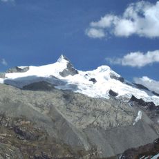
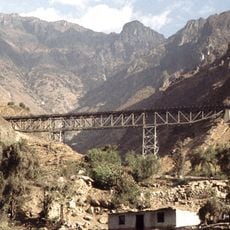
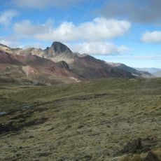
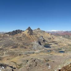
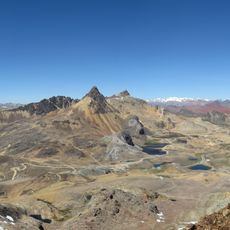
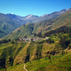
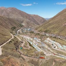
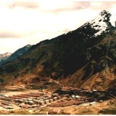
San Mateo District is a mountain region in Huarochirí Province covering a large expanse of high-altitude terrain. The landscape features multiple mountain ranges that shape the territory and offer varied natural environments to explore.
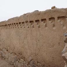
The district was founded in 1821 as one of the original administrative divisions in Huarochirí Province during the early independence period. This founding makes it part of the region's oldest institutional structures.
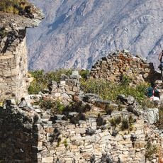
Local inhabitants maintain indigenous traditions through community gatherings and agricultural practices that reflect their connection to the mountain environment.
The high elevation requires physical acclimatization and proper preparation before visiting. The best time to explore is during the drier months when trails are more accessible and visibility is clearer.
The area is home to several notable mountain peaks that have shaped local communities for generations and play an important role in their daily lives. These summits are places where the bond between people and their natural surroundings becomes visible.
Location: Huarochirí Province
Capital city: San Mateo, Huarochirí Province
Elevation above the sea: 3,149 m
Shares border with: San Lorenzo de Quinti District, San Juan de Tantaranche District, Huarochirí district, San Damian District, Matucana District, Carampoma District, Chicla District, Yauli District, Suitucancha
GPS coordinates: -11.75862,-76.30004
Latest update: December 7, 2025 19:29
Nor Yauyos-Cochas Landscape Reserve
56.9 km
Chacamarca Historical Sanctuary
70.3 km
Cajamarquilla
69.6 km
Rúpac
73.2 km
Rajuntay
24.8 km
Jicamarca Radio Observatory
66.1 km
Pariacaca
42.4 km
Huaycán de Pariachi
64.5 km
Zárate Forest Reserved Zone
28 km
Tarmatambo
73.9 km
Verrugas Bridge
25.1 km
Estadio Municipal de La Molina
73.9 km
Huaycán de Cieneguilla
62.4 km
Anticona
23.3 km
Chinchirusa
18.2 km
Yuraqqucha
22.4 km
Ticlla
67.1 km
Wayrakancha
13.5 km
Quñuqp'ukru
10.7 km
Qanchis Kancha
15.2 km
Chuqi Chukchu
14.6 km
Chumpe (Junín)
28.3 km
Jirishmach'ay
19.4 km
Paraqti
16.2 km
Huayna Cotoni
66.2 kmSanta Eulalia River
44.2 km
Huachipa Zoo Park
71.1 km
Iglesia del Espíritu Santo de Huamansica o Antioquía
42.5 kmVisited this place? Tap the stars to rate it and share your experience / photos with the community! Try now! You can cancel it anytime.
Discover hidden gems everywhere you go!
From secret cafés to breathtaking viewpoints, skip the crowded tourist spots and find places that match your style. Our app makes it easy with voice search, smart filtering, route optimization, and insider tips from travelers worldwide. Download now for the complete mobile experience.
A unique approach to discovering new places❞
— Le Figaro
All the places worth exploring❞
— France Info
A tailor-made excursion in just a few clicks❞
— 20 Minutes