Wayrakancha, Mountain summit in Lima Department, Peru.
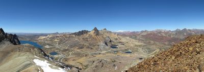
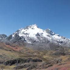
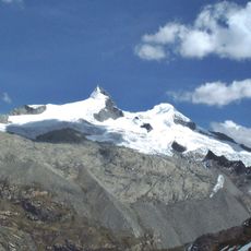
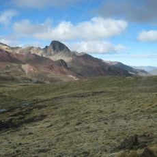
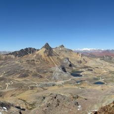
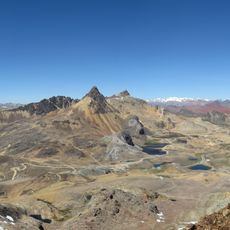
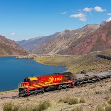
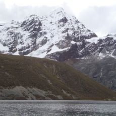
Wayrakancha is a mountain summit in the Cordillera Central rising to approximately 5,300 meters, marked by steep slopes that lead to a sharply defined peak. The surrounding terrain displays the typical geological character of the Andes, with jagged ridges and exposed rock formations visible across the range.
The mountain formed through tectonic activities spanning millions of years as the Andes underwent continuous mountain building and geological transformation. This ancient formation process continues to shape the range today through ongoing natural forces.
The name Wayrakancha comes from Quechua words combining 'wayra' for wind and 'kancha' for an enclosed place in local speech. This naming reflects how mountain communities understood and described the powerful natural elements surrounding them.
Visitors need specialized equipment and acclimatization time to handle the thin air at this elevation, as oxygen levels drop significantly. Proper preparation before attempting the climb is essential to avoid altitude-related difficulties.
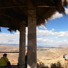
From the summit, views extend across neighboring regions to multiple surrounding peaks during clear weather, offering rare perspective on the overall structure of the Andes range. This broad panorama becomes visible only from elevated positions like this one.
The community of curious travelers
AroundUs brings together thousands of curated places, local tips, and hidden gems, enriched daily by 60,000 contributors worldwide.