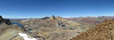
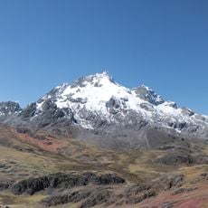
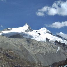
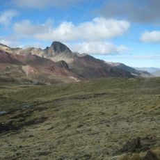
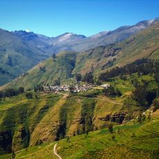
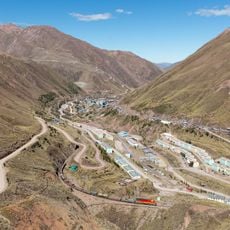
Chinchirusa, Mountain summit in Huarochirí Province, Peru.
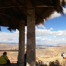
Chinchirusa is a mountain summit in Huarochirí Province that rises to 5,000 meters (16,404 feet) and features steep slopes with bare rock throughout. The terrain shows varied geology with exposed stone faces at the highest points.
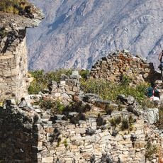
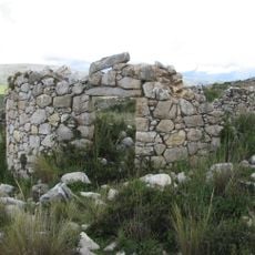
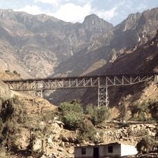
The peak sits on ancient trade routes established by Andean civilizations who traveled through nearby mountain passes. These paths connected distant communities across the high plateaus and show how the area was integrated into larger regional networks.
Local communities in the area maintain traditional farming practices tied to the mountain's seasonal patterns and high-altitude conditions. These customs reflect how people have adapted their daily lives to the demands of life in the mountains.
Visitors need proper mountain equipment and time to adjust to the high altitude before attempting the climb. The dry season from April through October provides the best conditions for a safe ascent.
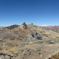
From the summit, visitors can see the neighboring peaks of Wayrakancha and Paraqti across the nearby ridges. The location also marks the administrative boundary between the Lima and Junín regions.
The community of curious travelers
AroundUs brings together thousands of curated places, local tips, and hidden gems, enriched daily by 60,000 contributors worldwide.