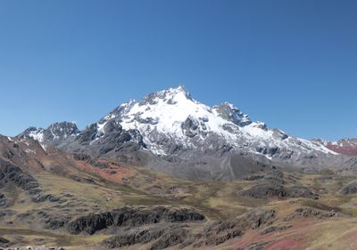
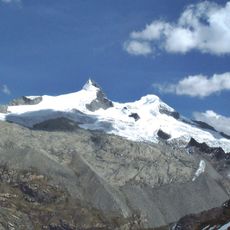
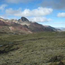
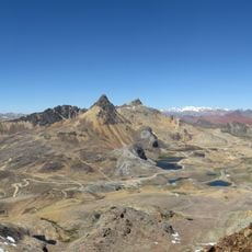
Rajuntay, Mountain summit in Junin Region, Peru
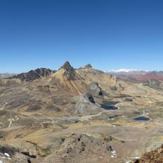
Rajuntay is a summit in the Andes mountain range located at 5,477 meters elevation, with steep slopes and permanent snow and glacial features year-round. Its snow-covered flanks and ice formations define the appearance of this peak within the La Viuda range.
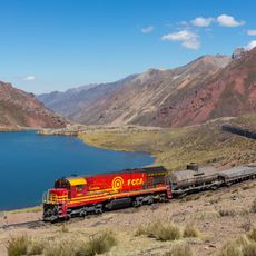
The peak was first documented as being climbed in 1900, marking the start of recorded mountaineering in this section of the Andes. This early ascent opened the way for further exploration of the area.
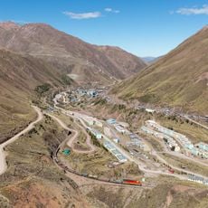
Communities living near the mountain incorporate it into their spiritual traditions and daily practices, viewing it as an important part of their relationship with the land. This deep connection shapes how people here understand their surroundings and their place within them.
Visitors need specialized mountaineering equipment, high-altitude experience, and time to adjust to the thin air before making an attempt on the summit. Good physical conditioning and climbing experience are essential for a safe ascent.
The name translates to 'coupled snow' and refers to distinctive twin glacier formations that give the mountain its characteristic appearance. These paired ice structures make the peak easily recognizable within the range.
The community of curious travelers
AroundUs brings together thousands of curated places, local tips, and hidden gems, enriched daily by 60,000 contributors worldwide.