
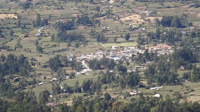
Chingas District, district in Peru
Location: Antonio Raymondi Province
Capital city: Chingas
Elevation above the sea: 2,854 m
Shares border with: Llamellín District, Paucas District, Uco District, Aczo District, San Juan de Rontoy District, Mirgas District
GPS coordinates: -9.11906,-76.99101
Latest update: April 3, 2025 07:44
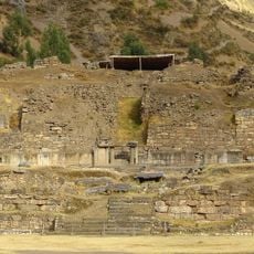
Chavin de Huantar
56.6 km
Peregrinación del Señor de Pumallucay
37.3 km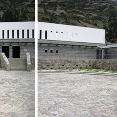
Chavin National Museum
54.9 km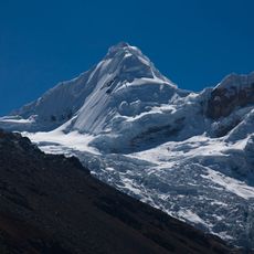
Tocllaraju
51.3 km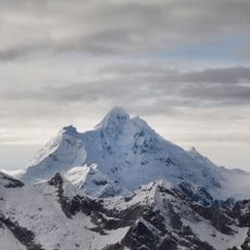
Huantsán
56.3 km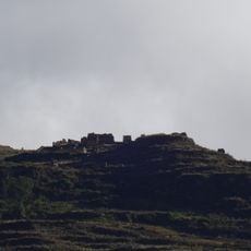
Piruro
42.8 km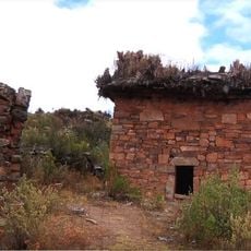
Markahirka
32 km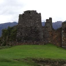
Cruzpampa
34 km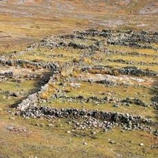
Maray Qalla
27.7 km
Chinchey
47.4 km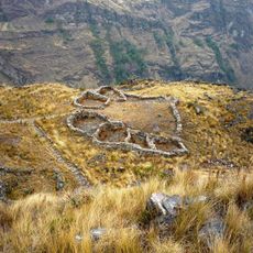
Huajramarca
49 km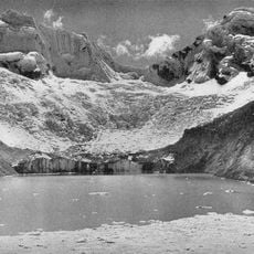
Palcaraju
50.1 km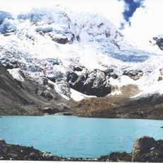
Pucaranra
49.8 km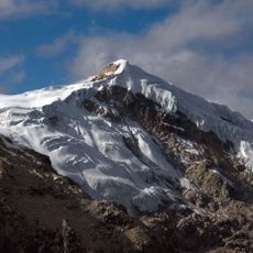
Ishinca
54.8 km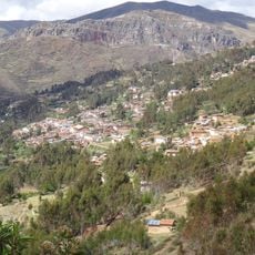
Ahuila Gencha Machay
36.1 km
Urus
55.5 km
Copap
41.8 km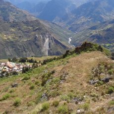
Rapayán
27.4 km
Cayesh
49.4 km
Susupillu
46.7 km
Tarush Huachanan
38.1 km
Auqui
41 km
Pucaraju
39.1 km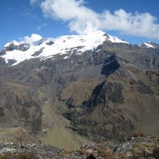
Tarushcancha
48 km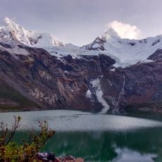
Tullparaju
47.5 km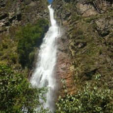
Maria Jiray Falls
34 km
Jacabamba
42.7 km
Winak
32.8 kmReviews
Visited this place? Tap the stars to rate it and share your experience / photos with the community! Try now! You can cancel it anytime.
Discover hidden gems everywhere you go!
From secret cafés to breathtaking viewpoints, skip the crowded tourist spots and find places that match your style. Our app makes it easy with voice search, smart filtering, route optimization, and insider tips from travelers worldwide. Download now for the complete mobile experience.

A unique approach to discovering new places❞
— Le Figaro
All the places worth exploring❞
— France Info
A tailor-made excursion in just a few clicks❞
— 20 Minutes