
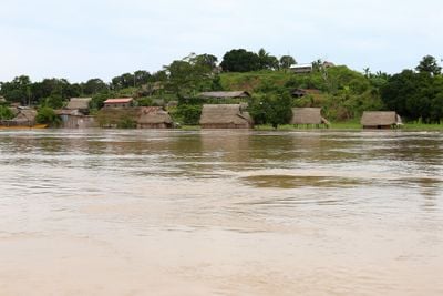
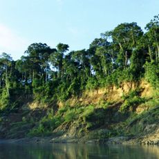
Purús Province, province of Ucayali, Peru
Location: Ucayali Department
Capital city: Esperanza
Elevation above the sea: 232 m
Shares border with: Atalaya Province, Tahuamanu Province
GPS coordinates: -9.79861,-70.75333
Latest update: March 6, 2025 07:31
Manu National Park
278.8 km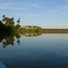
Tambopata National Reserve
382.8 km
Alto Purús National Park
149.5 km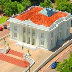
Palácio Rio Branco
323.4 km
Serra do Divisor National Park
352.7 km
Pongo de Mainique
353.3 km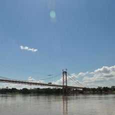
President Guillermo Billinghurst Bridge
355.4 km
Manuripi-Heath Amazonian Wildlife National Reserve
375.2 km
Amarakaeri Communal Reserve
336.9 km
Asháninka Communal Reserve
368.6 km
Museu da Borracha Governador Geraldo Mesquita
323.5 km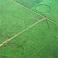
Acre geoglyphs
87.2 km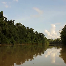
Purús Communal Reserve
55.2 km
Chico Mendes' house
323.6 km
Estádio José de Melo
323.6 km
Machiguenga Communal Reserve
377.1 km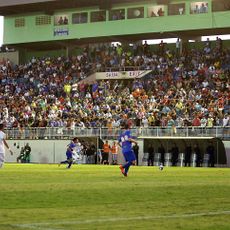
Estádio Antônio Aquino Lopes
319.3 km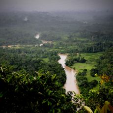
Chandless State Park
49.8 km
Manu Airport
277 km
Rio Acre Ecological Station
140.5 km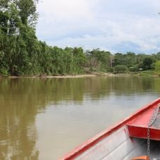
Alto Juruá Extractive Reserve
188 km
Santa Rosa River
50 km
Manú Chico River
277.7 km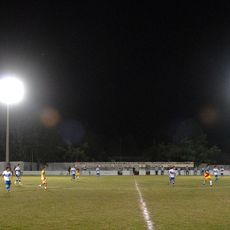
Estádio Álvaro Felício Abrahão
264.1 km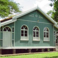
Seringal Bom Destino
354.1 km
Cine Teatro Recreio
323.6 km
Busto Humbert Terrazas
257.5 km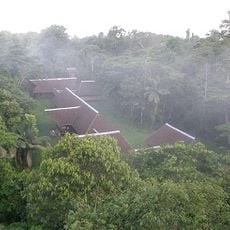
Tambopata Research Center
391.6 kmReviews
Visited this place? Tap the stars to rate it and share your experience / photos with the community! Try now! You can cancel it anytime.
Discover hidden gems everywhere you go!
From secret cafés to breathtaking viewpoints, skip the crowded tourist spots and find places that match your style. Our app makes it easy with voice search, smart filtering, route optimization, and insider tips from travelers worldwide. Download now for the complete mobile experience.

A unique approach to discovering new places❞
— Le Figaro
All the places worth exploring❞
— France Info
A tailor-made excursion in just a few clicks❞
— 20 Minutes