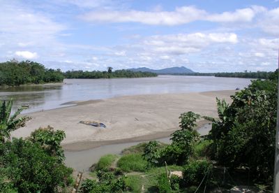
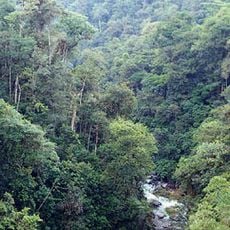
Río Santiago District, district of Peru
Location: Condorcanqui Province
Capital city: Puerto Galilea
Elevation above the sea: 200 m
Shares border with: Morona District, Manseriche District, Nieva District, El Cenepa District
GPS coordinates: -4.01510,-77.75840
Latest update: March 3, 2025 03:57
Cueva de los Tayos
118.2 km
Podocarpus National Park
141 km
New Cathedral of Cuenca
186.2 km
Museo Pumapungo
184.9 km
Shrine of the Virgin of the Cloud
186 km
Historic Centre of Santa Ana de los Ríos de Cuenca
186.1 km
Estadio Alejandro Serrano Aguilar
185.5 km
Basilica of El Cisne
186.1 km
Old Cathedral of Cuenca
186.1 km
El Cóndor Biological Reserve
79.8 km
Sanctuary of the Blessed Virgin of Rocio
190.9 km
Cathedral of Loja-Parroquia El Sagrario
160.2 km
Paquisha
102.3 km
Our Lady of the Cloud Monument
187 km
Cerro Cojitambo
187.8 km
Santiago-Comaina Reserved Zone
43.1 km
Cathedral of Azogues
186.7 km
Museum Remigio Crespo Toral
185.7 km
Santuario Católico del Señor de los Milagros de Andacocha
172.9 km
Santuario Diocesano Católico del Señor de Burgos de Borma
185.6 km
Galilea Airport
1.9 km
Museo Municipal de Arte Moderno
186.8 km
Tren Crucero
160.5 km
Negro River
153.9 km
Museum of Aboriginal Cultures
185.6 km
Monument to Abdón Calderón
186.1 km
Parque de la Madre
185.6 km
Iglesia de San José del Vecino
186 kmReviews
Visited this place? Tap the stars to rate it and share your experience / photos with the community! Try now! You can cancel it anytime.
Discover hidden gems everywhere you go!
From secret cafés to breathtaking viewpoints, skip the crowded tourist spots and find places that match your style. Our app makes it easy with voice search, smart filtering, route optimization, and insider tips from travelers worldwide. Download now for the complete mobile experience.
A unique approach to discovering new places❞
— Le Figaro
All the places worth exploring❞
— France Info
A tailor-made excursion in just a few clicks❞
— 20 Minutes