Colombia–Peru border, International border in Putumayo Department, Colombia and Loreto, Peru.
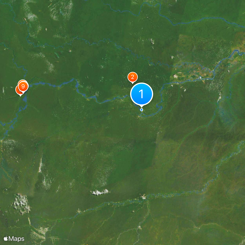
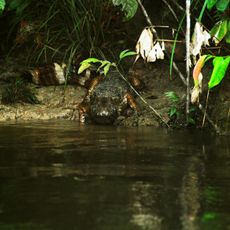
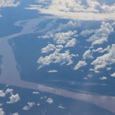
The Colombia-Peru border runs through dense Amazon rainforest where several rivers form natural markers between the two countries. The landscape is dominated by tropical vegetation with varying ecosystems that create a complex boundary line across the region.
The boundary was formally established in 1922 through the Salomón-Lozano Treaty after earlier territorial disputes had created tensions between the two nations. This agreement resolved conflicts and set the current border line that remains in place today.
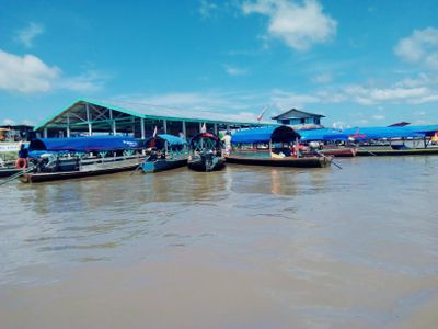
Indigenous groups such as the Tikuna and Kokama use the river and forest for trade and fishing, exchanging manioc flour and fish across the region. Their settlements straddle both sides, and daily life flows naturally across what maps show as a boundary.
Visitors crossing or entering the border region need proper documentation and should check local regulations beforehand, as this is a remote area. Limited transportation and communication infrastructure mean you should plan ahead and allow extra time.
The Putumayo River forms much of the natural border line while serving as a vital waterway for transport and trade. Despite marking the boundary, the river actually connects the two sides more than it divides them.
The community of curious travelers
AroundUs brings together thousands of curated places, local tips, and hidden gems, enriched daily by 60,000 contributors worldwide.