Putumayo Department, Administrative department in southwestern Colombia
Description
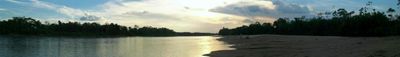
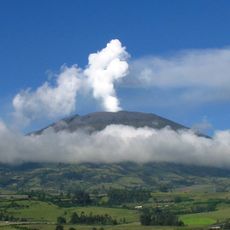
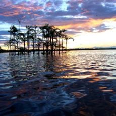
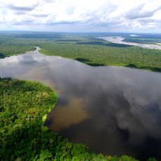
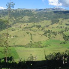
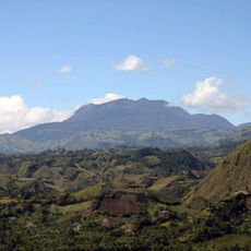
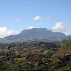
Putumayo is an administrative region in southwestern Colombia that extends from the Andean foothills into the Amazon lowlands and is covered by dense rainforest. The region borders Ecuador to the south and Peru to the east and is crossed by two large rivers.
History
The territory became an independent department in 1991 and replaced its former administrative form as an intendancy. The change took place as part of a nationwide reorganization of Colombia's administrative structure.
Culture
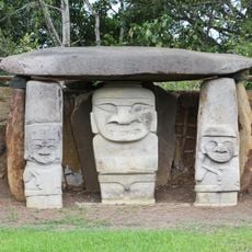
Indigenous communities maintain their customs across the department's thirteen municipalities, preserving traditional farming methods, medicinal practices, and crafting techniques.
Practical
Travelers reach the region through Mocoa, where an airport offers regular connections, or via road networks that connect with larger Colombian cities. Movement within the region is mostly by road or boat along the river courses.
Did you know?
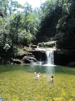
The region is home to several waterfalls with natural pools, including the Fin del Mundo cascade, which drops about 80 meters (262 feet) over three levels. These formations were created by the gradual cutting of mountain rivers into the volcanic rock.
AroundUs brings together thousands of curated places, local tips, and hidden gems, enriched daily by 60,000 contributors worldwide. Discover all places nearby (Colombia).
Yasuni National Park
157 km
San Agustin archeological park
163.7 km
Galeras
203.7 km
Cuyabeno Wildlife Reserve
78.8 km
Limoncocha National Biological Reserve
150.9 km
Puracé
211.4 km
Puracé National Natural Park
197.8 kmCueva de los Guácharos National Natural Park
122 km
La Corota Island Flora Sanctuary
178.3 km
Estadio Departamental Libertad
194.3 kmLa Paya Natural National Park
62.1 km
Doña Juana
176.9 km
Sotará
201.1 km
Salto de Bordones
171.1 km
Güeppi
88.6 kmSerranía de los Churumbelos
121.5 km
Doña Juana-Cascabel Volcanic Complex
164 km
Tiputini Biodiversity Station
145.2 km
Alto Fragua - Indi Wasi National Natural Park
106.1 km
Sagrado Corazón, Pasto
195.3 km
Our Lady of Lourdes Cathedral, Florencia
116.5 kmAiro Pai Communal Reserve
169.6 kmMedicinal Plants Orito Ingi-Ande Flora Sanctuary
138.6 kmCerro Morazurco
193.6 km
Petacas
174.5 km
Salto de Mortiño
158.6 kmHuimeki Communal Reserve
130.6 kmEmbalse Río Bobo
191.1 kmDiscover hidden gems everywhere you go!
From secret cafés to breathtaking viewpoints, skip the crowded tourist spots and find places that match your style. Our app makes it easy with voice search, smart filtering, route optimization, and insider tips from travelers worldwide. Download now for the complete mobile experience.
A unique approach to discovering new places❞
— Le Figaro
All the places worth exploring❞
— France Info
A tailor-made excursion in just a few clicks❞
— 20 Minutes