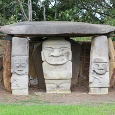
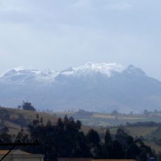
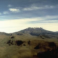
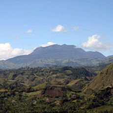
Cerro Morazurco, Volcanic hill in Nariño Department, Colombia
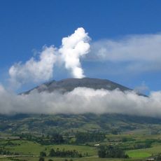
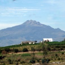
Cerro Morazurco is a volcanic hill in Nariño Department located within the Andes mountain range, showing layers of rock and mineral deposits from past volcanic activity. The formation displays distinct geological features that change as you move up the slopes at different elevations.
This formation developed over centuries through tectonic movement between the Nazca and South American plates, which created volcanic activity and mineral deposits. The geological processes that shaped this landscape continue to influence the region today.
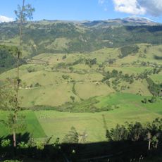
Local communities cultivate crops on the nutrient-rich volcanic soil that surrounds the slopes, relying on this land for their daily sustenance and livelihood. The agricultural practices visible on the hillsides reflect generations of knowledge about working with volcanic terrain.
Multiple hiking paths climb the slopes and reach different sections of the formation, with the driest months offering the best conditions for walking. Local guides can help explain what you see and navigate the terrain more safely.
The hill supports different plants and animals across its elevation zones, as environmental conditions and climate shift with height. Each elevation band creates its own living space with species adapted to those specific conditions.
The community of curious travelers
AroundUs brings together thousands of curated places, local tips, and hidden gems, enriched daily by 60,000 contributors worldwide.