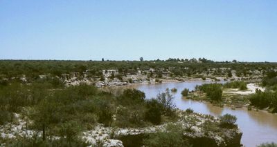
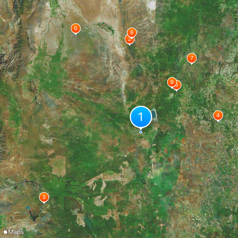
Desaguadero River, Major river system in western Argentina
The Desaguadero begins near Tipas volcano in the Andes and flows east for 1,498 kilometers through several provinces. It joins the Colorado in La Pampa Province and receives tributaries from the mountains along the way.
During Spanish colonial times, the river formed the natural border between the viceroyalties of Buenos Aires and Peru. This separation shaped the political geography of southern South America for centuries.
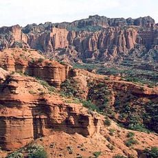
Farmers in the Cuyo region have relied on the water for centuries to grow their fields and orchards. The irrigation canals along the river still show the traditional techniques of the area today.
The riverbed changes dramatically throughout the year as farmers draw water for their fields. Visitors should note that some sections run nearly dry in summer.
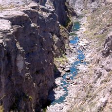
The Jáchal, San Juan, Tunuyán, Diamante, and Atuel rivers all flow into it, bringing meltwater from the Andes. Without these tributaries, the Desaguadero would vanish in the dry plains.
The community of curious travelers
AroundUs brings together thousands of curated places, local tips, and hidden gems, enriched daily by 60,000 contributors worldwide.