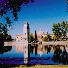
San Javier Department, Administrative department in Córdoba Province, Argentina
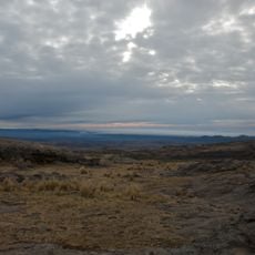
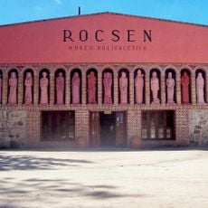
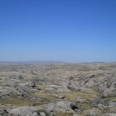
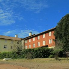
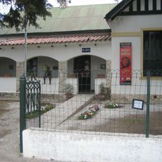
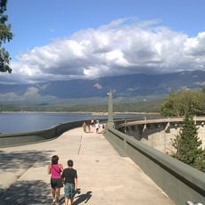
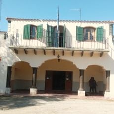
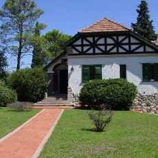
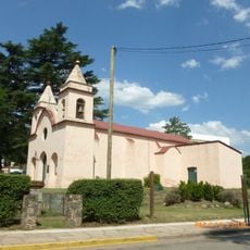
San Javier Department sits in the western part of Córdoba Province and includes several towns spread across a hilly landscape. Villa Dolores serves as the main urban center, while smaller settlements like Los Hornillos and Villa de Las Rosas dot the region.
The department formed during Argentina's administrative reorganization in the past and became a defined territorial unit in western Córdoba. It developed as local settlements grew and farming activities expanded across the region.
Farming traditions shape how people live and work across the settlements in this region. The rhythm of agricultural seasons influences daily routines and community activities throughout the area.
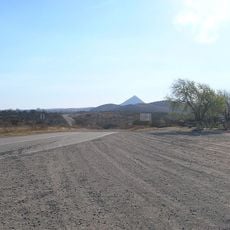
The area connects to Córdoba City through provincial routes, though travel between settlements requires planning due to distance. A car is helpful for exploring the different towns and surrounding countryside.
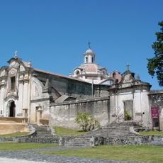
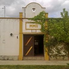
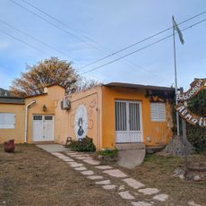
Villa de Las Rosas, one of the main towns here, took its name from the large rose-growing industry that once dominated local commerce. This floral heritage remains part of the town's identity today.
Location: Córdoba Province
Capital city: Villa Dolores
Elevation above the sea: 567 m
GPS coordinates: -31.93333,-65.20000
Latest update: December 10, 2025 15:52
San Roque
92.8 km
Mount Champaquí
25.6 km
Quebrada del Condorito National Park
58.5 km
Jesuit Block and Estancias of Córdoba
78.7 km
Rocsen Multifaceted Museum
27.4 km
Pampa de Achala
46.2 km
Unidad Turística Embalse
79.1 km
Estancia Jesuitica Alta Gracia
78.6 km
Pocho volcanic field
69.4 km
Museo Casa del Che Guevara
78.4 km
Governor Jose Manuel de la Sota Bridge
95.1 km
Autódromo Oscar Cabalén
89.1 km
Parque y reserva natural Chancaní
70.9 km
Teófilo Tabanera Space Center
83 km
Bosque Alegre ground station
69.9 km
La Viña Dam
17.1 km
Museum of the Bells
29.1 km
Mining School of José de la Quintana Senador Luis Carnevale
75.7 km
Serpentario Machaqway
14.7 km
Estacion de Tren, Almafuerte, Cordoba
94.3 km
Museo del Libro
37.7 km
Pasos Malos
48.1 km
Biblioteca Popular Almafuerte
64 km
Museo Manuel De Falla
79.1 km
Reducción de Alta Gracia
78.6 km
La iglesia y sacristía; la casa vivienda (hoy llamada Casa del Virrey), el obraje, el mirador o miramar, el tajamar y las ruinas de lo que fueron el viejo molino y batanes de la Estancia Jesuítica de Alta Gracia.
78.6 km
Museo de Arte Religioso Santa Rosa de Lima
64.1 km
Capilla, Colegio y C.de Ejer.Esp.de Cura Brochero
30.6 kmVisited this place? Tap the stars to rate it and share your experience / photos with the community! Try now! You can cancel it anytime.
Discover hidden gems everywhere you go!
From secret cafés to breathtaking viewpoints, skip the crowded tourist spots and find places that match your style. Our app makes it easy with voice search, smart filtering, route optimization, and insider tips from travelers worldwide. Download now for the complete mobile experience.
A unique approach to discovering new places❞
— Le Figaro
All the places worth exploring❞
— France Info
A tailor-made excursion in just a few clicks❞
— 20 Minutes