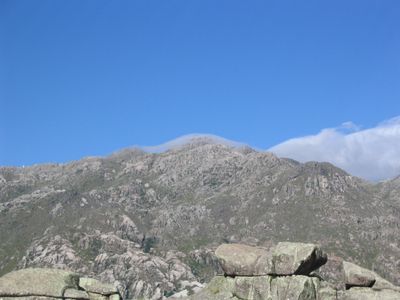
Mount Champaquí, Mountain summit in western Córdoba Province, Argentina
Mount Champaquí rises to 2,770 meters (9,088 feet) and is the highest point in Córdoba Province. It stands as a major peak within the Sierras de Córdoba mountain range and marks the natural boundary of Pampa de Achala.
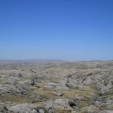
The mountain is part of the Sierras Grandes, an ancient mountain system shaped over geological time. Its formation has long defined the natural boundaries and character of the surrounding regions.
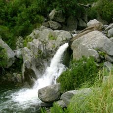
The name comes from the Comechingón indigenous language and means water at the top, referring to the small lake near the summit. Visitors can still see this connection to the region's indigenous past reflected in the landscape itself.
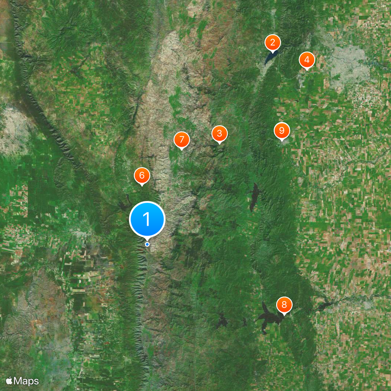
The ascent typically starts from Villa Alpina on the eastern slopes with marked trails crossing different terrain types. Visitors should prepare for changing weather conditions and bring proper equipment for mountain conditions.
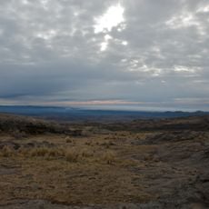
A small lake near the summit freezes completely from late April through early August, creating a rare natural ice formation at this elevation. This seasonal transformation offers a striking contrast to the warmer climate of lower-lying areas.
Location: Córdoba Province
Elevation above the sea: 2,790 m
Part of: Sierras de Comechingones
GPS coordinates: -31.98740,-64.93617
Latest update: December 6, 2025 22:00
San Roque
81 km
Quebrada del Condorito National Park
43.9 km
La Perla Córdoba
83.5 km
Jesuit Block and Estancias of Córdoba
60 km
Rocsen Multifaceted Museum
21 km
Pampa de Achala
35.7 km
Unidad Turística Embalse
54 km
Estancia Jesuitica Alta Gracia
60 km
Pocho volcanic field
81.3 km
Museo Casa del Che Guevara
60.1 km
Governor Jose Manuel de la Sota Bridge
82.8 km
Autódromo Oscar Cabalén
71.4 km
Museo Usina Molet (MUM)
84.8 km
Teófilo Tabanera Space Center
68 km
La Viña Dam
16 km
Museum of the Bells
29.6 km
Mining School of José de la Quintana Senador Luis Carnevale
53.4 km
Serpentario Machaqway
11.5 km
Estacion de Tren, Almafuerte, Cordoba
68.8 km
Museo del Libro
28.9 km
Pasos Malos
37.2 km
Biblioteca Popular Almafuerte
38.4 km
Museo Manuel De Falla
60.5 km
Capilla, Colegio y C.de Ejer.Esp.de Cura Brochero
32.3 km
Reducción de Alta Gracia
59.9 km
Capilla del Rosario de Piedra Blanca
40.1 km
Museo de Arte Religioso Santa Rosa de Lima
38.5 km
La iglesia y sacristía; la casa vivienda (hoy llamada Casa del Virrey), el obraje, el mirador o miramar, el tajamar y las ruinas de lo que fueron el viejo molino y batanes de la Estancia Jesuítica de Alta Gracia.
59.9 kmVisited this place? Tap the stars to rate it and share your experience / photos with the community! Try now! You can cancel it anytime.
Discover hidden gems everywhere you go!
From secret cafés to breathtaking viewpoints, skip the crowded tourist spots and find places that match your style. Our app makes it easy with voice search, smart filtering, route optimization, and insider tips from travelers worldwide. Download now for the complete mobile experience.
A unique approach to discovering new places❞
— Le Figaro
All the places worth exploring❞
— France Info
A tailor-made excursion in just a few clicks❞
— 20 Minutes