
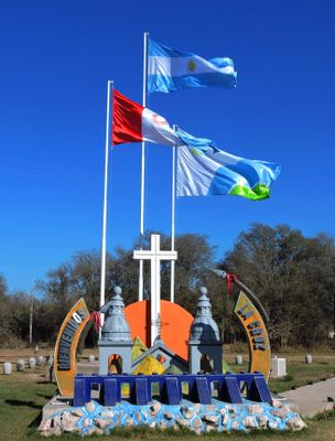
La Cruz, human settlement in Argentina
Location: Calamuchita Department
GPS coordinates: -32.30311,-64.48305
Latest update: March 20, 2025 22:28
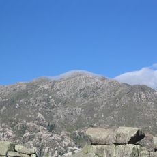
Mount Champaquí
55.3 km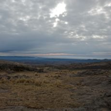
Quebrada del Condorito National Park
72.9 km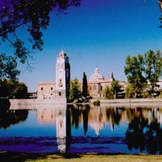
Jesuit Block and Estancias of Córdoba
72.2 km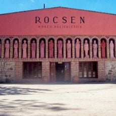
Rocsen Multifaceted Museum
71.7 km
Pampa de Achala
75.3 km
Unidad Turística Embalse
11.9 km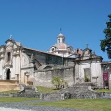
Estancia Jesuitica Alta Gracia
72 km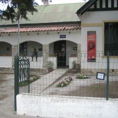
Museo Casa del Che Guevara
72.9 km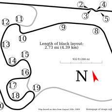
Autódromo Oscar Cabalén
81.9 km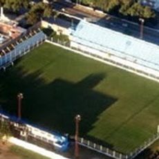
Estadio Ciudad de Río Cuarto
91.3 km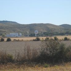
Teófilo Tabanera Space Center
86.7 km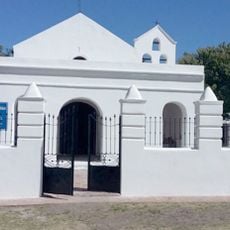
Capilla de Tegua
42 km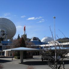
Bosque Alegre ground station
78 km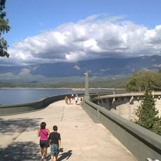
La Viña Dam
70.9 km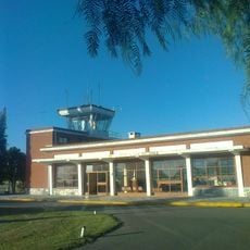
Villa Dolores Airport
74.1 km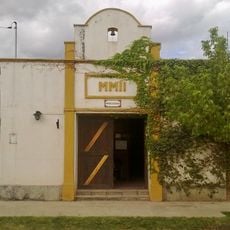
Museum of the Bells
81 km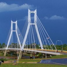
Puente del Bicentenario Intendente Mugnaini
89.9 km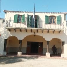
Mining School of José de la Quintana Senador Luis Carnevale
55.9 km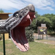
Serpentario Machaqway
66.5 km
Estacion de Tren, Almafuerte, Cordoba
24.7 km
Museo del Libro
51.3 km
Pasos Malos
46.2 km
Biblioteca Popular Almafuerte
26.9 km
Museo Manuel De Falla
72.4 km
Capilla del Rosario de Piedra Blanca
50.1 km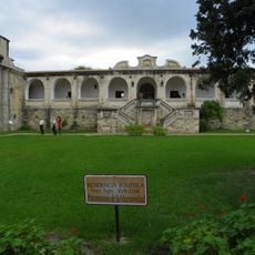
Reducción de Alta Gracia
72 km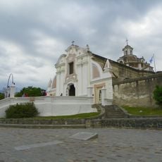
La iglesia y sacristía; la casa vivienda (hoy llamada Casa del Virrey), el obraje, el mirador o miramar, el tajamar y las ruinas de lo que fueron el viejo molino y batanes de la Estancia Jesuítica de Alta Gracia.
72 km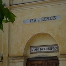
Capilla, Colegio y C.de Ejer.Esp.de Cura Brochero
83.6 kmReviews
Visited this place? Tap the stars to rate it and share your experience / photos with the community! Try now! You can cancel it anytime.
Discover hidden gems everywhere you go!
From secret cafés to breathtaking viewpoints, skip the crowded tourist spots and find places that match your style. Our app makes it easy with voice search, smart filtering, route optimization, and insider tips from travelers worldwide. Download now for the complete mobile experience.

A unique approach to discovering new places❞
— Le Figaro
All the places worth exploring❞
— France Info
A tailor-made excursion in just a few clicks❞
— 20 Minutes