Quaraí, Administrative division in Rio Grande do Sul, Brazil
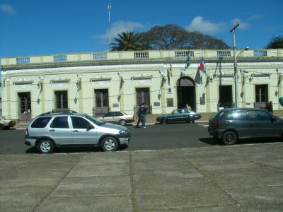
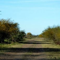
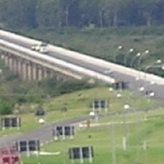
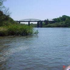
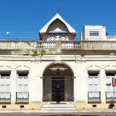
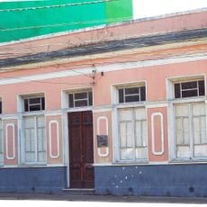
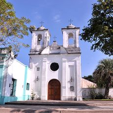
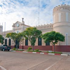
Quaraí is a municipality in southern Brazil situated along the border with Uruguay and the Rio Quaraí river. The town shapes life in this border region with its modest layout and position in the gently rolling terrain of Rio Grande do Sul.
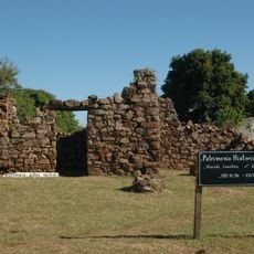
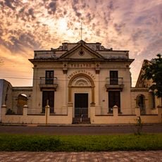
The territory witnessed important border agreements between Brazil and Uruguay that defined regional boundaries over time. These frontier settlements made Quaraí strategically significant in the southern border region.
The area reflects the heritage of Guaraní peoples who lived here for centuries, with their influence visible in local place names and traditional practices that communities maintain today. This indigenous connection shapes how residents relate to the landscape and regional identity.
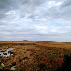
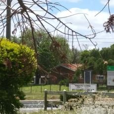
The place sits in a sparsely populated region and is best explored by allowing time for longer journeys between attractions. Getting around is easier with a personal vehicle, as visitors need flexibility to reach different sites independently.
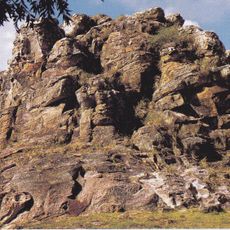
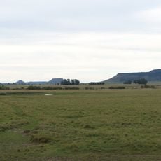
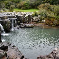
Nearby stands Cerro do Jarau, a massive circular hill formed by cosmic events approximately 117 million years ago. This formation is one of the few examples of its kind in South America and draws geologists and curious visitors alike.
Location: Rio Grande do Sul
Elevation above the sea: 195 m
Shares border with: Alegrete, Rosário do Sul, Santana do Livramento, Uruguaiana
Website: http://quarai.rs.gov.br
GPS coordinates: -30.38778,-56.45083
Latest update: December 7, 2025 10:07
Mission Nuestra Señora de los Tres Reyes de Yapeyú
108 km
Natural Protected Area Valle del Lunarejo
102.9 km
Piedra Pintada
15.4 km
Área de protección ambiental Rincón de Franquía
114 km
Rincon de tres cerros
159.5 km
Parque Estadual do Espinilho
103.4 km
Altos del Arapey
119.5 km
Proyecto reserva natural y cultural provincial Tres Cerros
149.7 km
Ponte Marechal José de Abreu
148.3 km
Teatro Prezewodowski
141.3 km
Ibirapuitã Biological Reserve
82.5 km
Ibirapuitã Environmental Protection Area
76.1 km
Museo de Artes Visuales de Tacuarembó
154 km
Parque Natural Regional Valle del Lunarejo
98.7 km
Museo de Geociencias
154 km
Estadio Goyenola
153.8 km
Antiga Casa do Marechal Bento Manuel Ribeiro de Almeida
92.5 km
Antigas Residências Em Alegrete
92.4 km
Maara - Museu de Arqueologia e Artes
92.5 km
Museu Oswaldo Aranha
92.6 km
Jefatura de Policía, Artigas
1.6 km
Centro de detención del Regimiento de Caballería No. 3
102.4 km
Museo Santa Rosa del Cuareim
111.8 km
Museo Parroquial del Templo San Eugenio
1.7 km
Centro de detención del Regimiento de Caballería No. 10
4.7 km
Templete Casa Natal del Gral. San Martín
107.8 km
Centro de detención del Regimiento de Caballería No. 10 - Escuadrón Bella Unión
111.6 km
Jefatura de policía de Artigas
1.7 kmVisited this place? Tap the stars to rate it and share your experience / photos with the community! Try now! You can cancel it anytime.
Discover hidden gems everywhere you go!
From secret cafés to breathtaking viewpoints, skip the crowded tourist spots and find places that match your style. Our app makes it easy with voice search, smart filtering, route optimization, and insider tips from travelers worldwide. Download now for the complete mobile experience.
A unique approach to discovering new places❞
— Le Figaro
All the places worth exploring❞
— France Info
A tailor-made excursion in just a few clicks❞
— 20 Minutes