
Municipality of Aiguá, municipality of Uruguay
Location: Maldonado Department
Capital city: Aiguá
GPS coordinates: -34.20219,-54.76394
Latest update: March 8, 2025 23:13
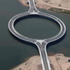
Laguna Garzón Bridge
69.1 km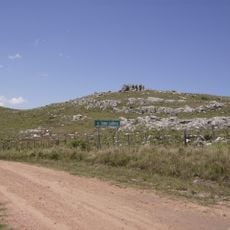
Cerro Catedral
21.7 km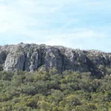
Cerro Arequita
47.3 km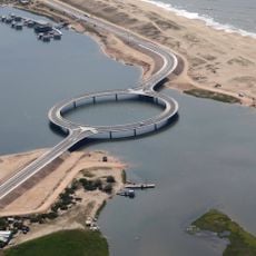
Laguna Garzón
65.8 km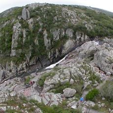
Salto del Penitente
32.6 km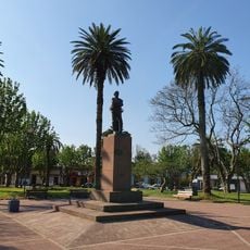
Lascano
78.2 km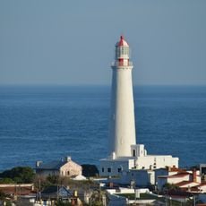
Faro Cabo Santa María
76.4 km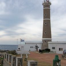
Faro de José Ignacio
72.7 km
Atchugarry Museum of Contemporary Art
74.1 km
Fuente del Puma
56.3 km
Molino Lavagna
67.5 km
Museo Histórico General Aparicio Saravia
42.3 km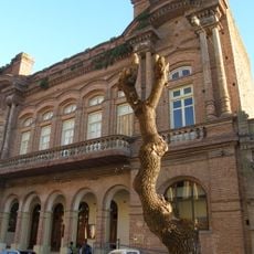
Teatro Lavalleja
47.6 km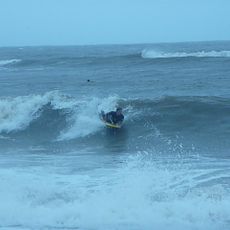
Playa La Balconada
75.3 km
Eta Carinae observatory
24.6 km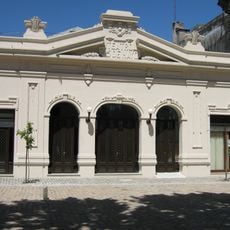
Teatro 25 de Mayo
50.1 km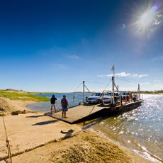
Área protegida Laguna Garzón
65.8 km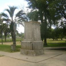
Marco de India Muerta
49.3 km
La Barra Golf Club
75.8 km
Brisas beach
77 km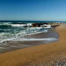
Beach La Paloma
76.4 km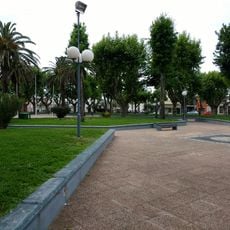
Plaza Artigas
67.1 km
Arroyo Piedras Blancas
68.6 km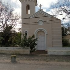
Iglesia de La Pedrera
73 km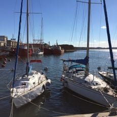
La Paloma
75.3 km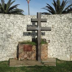
Monumento a Charles de Gaulle (cruz de Lorena)
50.7 km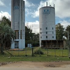
La Pedrera Water Tower
72.7 km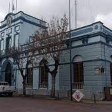
Jefatura de policía de Lavalleja
47.8 kmReviews
Visited this place? Tap the stars to rate it and share your experience / photos with the community! Try now! You can cancel it anytime.
Discover hidden gems everywhere you go!
From secret cafés to breathtaking viewpoints, skip the crowded tourist spots and find places that match your style. Our app makes it easy with voice search, smart filtering, route optimization, and insider tips from travelers worldwide. Download now for the complete mobile experience.

A unique approach to discovering new places❞
— Le Figaro
All the places worth exploring❞
— France Info
A tailor-made excursion in just a few clicks❞
— 20 Minutes