Cerro Arequita, Summit in Lavalleja Department, Uruguay
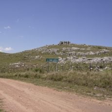
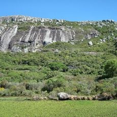
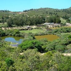
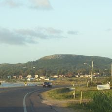
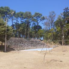
Cerro Arequita is a rocky massif in Lavalleja Department, 12 km north of Minas, with a flat-topped summit 305 m high. It faces Cerro del Cuervo across the Santa Lucía river, where the Laguna de los Cuervos forms. The hill belongs to the Lower Cretaceous Arequita formation, dated by geologist Jorge Bossi to about 120 million years. On its steep slope grows the Isla de Ombúes, Uruguay's second-largest cluster of ombú trees.
Cerro Arequita belongs to the Arequita formation of the Lower Cretaceous, part of the Mesozoic Era. Geologist Jorge Bossi dates the hill to roughly 120 million years ago. In 1872 Pedro Carvallido and Juan Beracochea discovered the Gruta de Colón inside it, a narrow space between two rock walls coated with calcium carbonate and floored with guano.
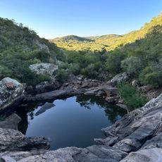
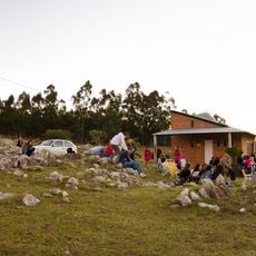
Cerro Arequita sits within Parque Arequita, a protected natural area that draws hikers and nature lovers from across Uruguay. On weekends, families and groups come here to walk the trails and spend time among the rock formations.
The trails are clearly marked and manageable for visitors with a basic level of fitness, though some sections near the top are rocky and steeper. Sturdy footwear is a good idea, and it is worth bringing enough water since there is little shade near the summit.
The hill's name comes from the Guaraní araicuahita, "water of the high stones of the caves", referring to water that falls constantly inside the Gruta de Colón, one of three grottoes on the hill, from an unknown source. The grotto was discovered in 1872 by Pedro Carvallido and Juan Beracochea.
The community of curious travelers
AroundUs brings together thousands of curated places, local tips, and hidden gems, enriched daily by 92,744 contributors worldwide.