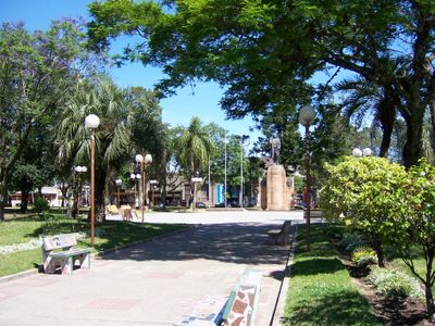
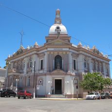
Tacuarembó, Regional capital city in north-central Uruguay
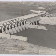
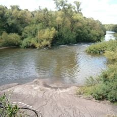
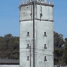
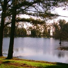
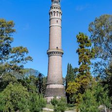
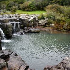
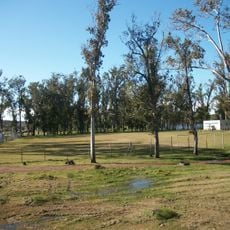
Tacuarembó is a regional capital in north-central Uruguay situated on rolling hills and fertile plains at an elevation of 138 meters above sea level. The city serves as an important hub for the surrounding area, shaped by its natural landscape of varied terrain.
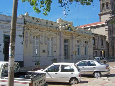
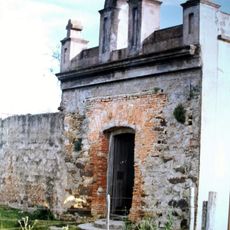
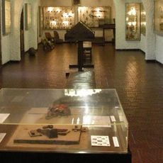
Colonel Bernabé Rivera founded the settlement in 1832 under the name San Fructuoso, which soon became an important location in the region. By 1837 the population had grown to around 500 residents, marking the beginning of its development into the modern city it is today.
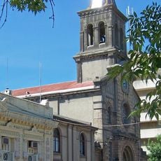
The city maintains strong ties to traditional Uruguayan gaucho culture through regular folkloric events and celebrations that happen throughout the year. These gatherings shape how residents spend their time and give visitors a chance to experience local customs firsthand.
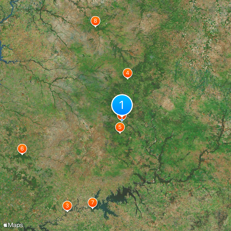
The city connects to major cities through Route 5 and is located roughly 350 kilometers from Montevideo and about 190 kilometers from Salto. This central location makes it easy to reach for those wanting to explore the region.
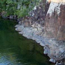
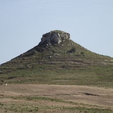
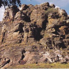
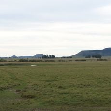
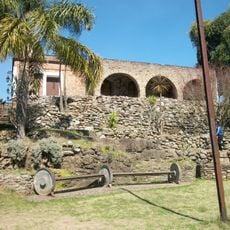
The area around the city is marked by about 150 different hills, with 30 of them holding particular historical significance for the region. This geographical feature makes the landscape surrounding this place distinctly recognizable.
The community of curious travelers
AroundUs brings together thousands of curated places, local tips, and hidden gems, enriched daily by 60,000 contributors worldwide.