Isla Talavera, River island in Itapúa, Paraguay.
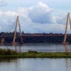
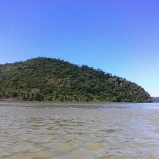
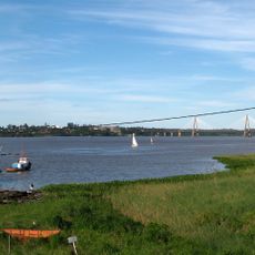
Isla Talavera is a river island situated between two branches of the Paraná River, separated by the southern Talavera arm and the northern Jesuits Canal. The entire landmass is now submerged beneath the reservoir created by the Yacyretá hydroelectric dam.
The island was disputed territory between Argentina and Paraguay until 1996, when Paraguay gained full sovereignty through diplomatic agreements. The southern arm of the Paraná River established the natural boundary that settled this territorial question.
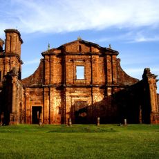
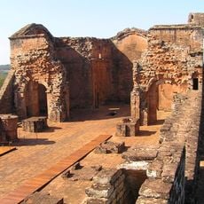
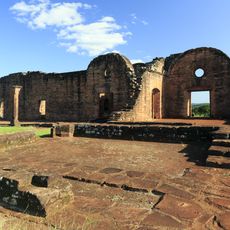
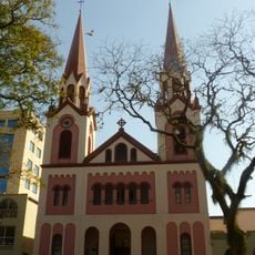
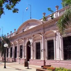
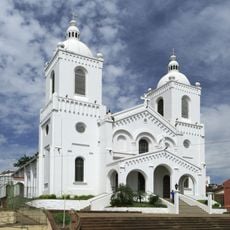
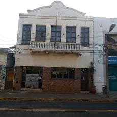
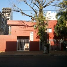
The island is closely connected to San Cosme y Damián district, reflecting the natural and social identity of the Itapúa region. Visitors can still sense how water shaped local life and traditions in this area.
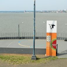
The area is completely underwater, making direct access impossible today. Visitors can view the region from nearby shores or learn about the dam and its impact through local information centers in San Cosme y Damián.
The southern Paraná branch extends approximately 45 kilometers from Jupiter Pass to Picardía Island and once served as the precise border marker between the two countries. This geographic line held legal significance and determined sovereignty for decades.
The community of curious travelers
AroundUs brings together thousands of curated places, local tips, and hidden gems, enriched daily by 60,000 contributors worldwide.