Sarandi, Administrative municipality in Rio Grande do Sul, Brazil.
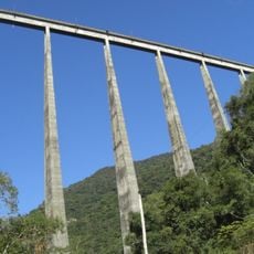
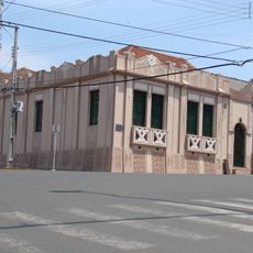
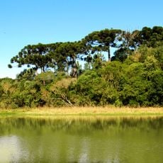
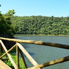
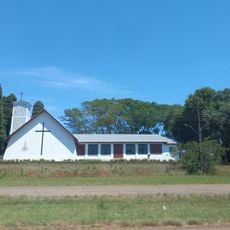
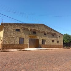
Sarandi is a municipality in southern Rio Grande do Sul with a smaller population and rural character that defines the area. Agriculture and small-scale industrial activity form the backbone of the local economy and daily life.
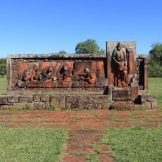
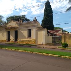
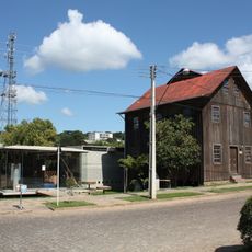
The town was established in 1939 following the arrival of European settlers who built agricultural communities in the region. This founding heritage continues to shape the structure and character of the municipality.
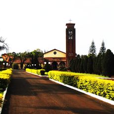
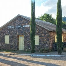
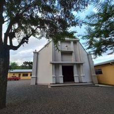
The town reflects Italian and German immigrant roots through local festivals featuring traditional music and regional dishes that remain part of community life. These traditions continue to shape how residents celebrate and gather together.
This is a rural municipality without urban infrastructure or large-scale tourism facilities, so planning ahead is helpful. Having a car is useful for exploring the area and nearby regions, as public transport is limited in the countryside.
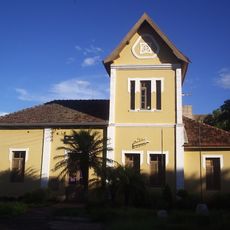
The town has adopted a Latin motto meaning 'Dignity in work' that expresses the deep connection between residents and their agricultural tradition. This guiding principle reveals how community pride is rooted in values of honest labor and hard work.
The community of curious travelers
AroundUs brings together thousands of curated places, local tips, and hidden gems, enriched daily by 60,000 contributors worldwide.