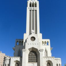
Sananduva, Municipality in Rio Grande do Sul, Brazil.
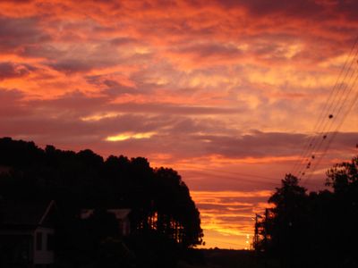
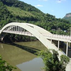
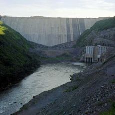
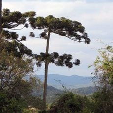
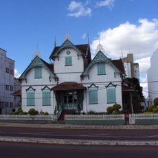
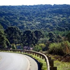
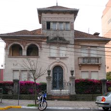
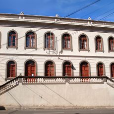
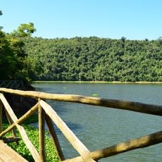
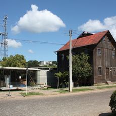
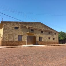
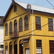
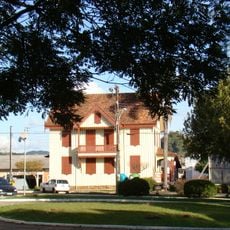
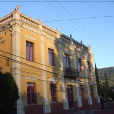
Sananduva is a municipality in Rio Grande do Sul situated on hilly terrain in southern Brazil. The town spreads across agricultural lands with residential areas typical of smaller Brazilian communities.
The municipality gained administrative independence in 1997, allowing the region to organize itself formally. This milestone marked the beginning of separate local governance for the area.
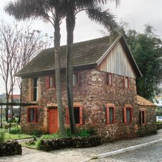
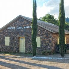
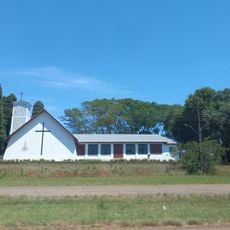
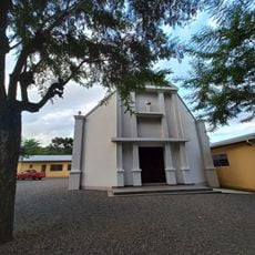
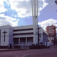
The community here blends traditions brought by different groups who settled in this region over time, visible in local celebrations and daily customs. The way people gather in public spaces and maintain family-centered social habits reflects these layered influences.
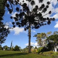
The location sits at higher elevation, so visitors should bring appropriate clothing and sturdy shoes for exploring. Visiting during drier months makes roads easier to navigate and walking more comfortable.
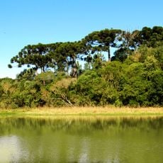
The local economy depends heavily on small family farms that blend traditional growing methods with modern techniques. This allows many families to live and work on their land while avoiding dependence on large industrial operations.
Location: Rio Grande do Sul
Elevation above the sea: 642 m
Shares border with: Ibiaçá, Charrua, Cacique Doble, Centenário, Floriano Peixoto, Lagoa Vermelha, Santo Expedito do Sul, São João da Urtiga
Website: http://sananduva.rs.gov.br
GPS coordinates: -27.95000,-51.80694
Latest update: December 7, 2025 20:44
Christ the Protector
143.4 km
Viaduto do Exército
122.3 km
Estádio Olímpico Colosso da Lagoa
56.1 km
São Pelegrino's church
148.5 km
Ponte Ernesto Dornelles
124.4 km
Museu Ambiência Casa de Pedra
146.6 km
Estádio Parque Esportivo Montanha dos Vinhedos
136.6 km
Campos Novos Dam
61 km
Araucárias National Park
128.4 km
Castelinho
57.8 km
Caçador National Forest
144.3 km
Palacete Eberle
149 km
Museum of Caxias do Sul City
148.6 km
Museu do Automobilismo Brasileiro
70.8 km
Passo Fundo National Forest
54.7 km
Espigão Alto State Park
46.8 km
Fritz Plaumann State Park
79.2 km
Museu do Pão
113.1 km
Memorial Nereu Ramos
146.4 km
Luigi Pinzetta Museum
75.2 km
Igreja Luterana Tio Hugo
103.1 km
Centro de Tradições Gaúchas in Ibirubá
146.7 km
Santo Antônio do Trinta Chapel
75.2 km
Cathedral of Erechim
57.9 km
Casa de Dona Neni
113.3 km
Casa Canônica
123.2 km
Núcleo urbano de Santa Tereza
136 km
Casa da Cultura Rogério Sganzerla
91.5 kmVisited this place? Tap the stars to rate it and share your experience / photos with the community! Try now! You can cancel it anytime.
Discover hidden gems everywhere you go!
From secret cafés to breathtaking viewpoints, skip the crowded tourist spots and find places that match your style. Our app makes it easy with voice search, smart filtering, route optimization, and insider tips from travelers worldwide. Download now for the complete mobile experience.
A unique approach to discovering new places❞
— Le Figaro
All the places worth exploring❞
— France Info
A tailor-made excursion in just a few clicks❞
— 20 Minutes