Três de Maio, Agricultural municipality in Rio Grande do Sul, Brazil.
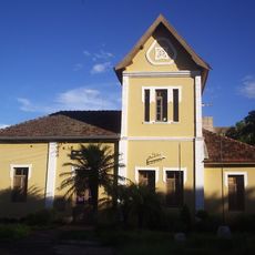
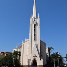
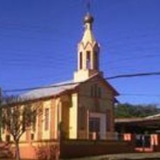
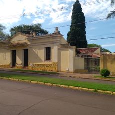
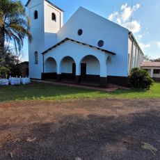
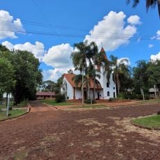
Três de Maio is an agricultural municipality in southern Brazil, built across rolling terrain that spreads through farming country. The town sits at moderate elevation and shows the typical pattern of a rural settlement where houses and fields blend together.
The municipality was established in 1959 and named after its founding date, May 3rd. Its creation followed waves of European settlers who moved to the region and shaped how the town developed.
The local community speaks a dialect rooted in German heritage, a living reminder of immigration patterns that shaped the region. You hear this language woven into everyday conversations throughout the town.
The town is easy to navigate since it has a simple layout typical of rural areas with straightforward paths. If you need information or documents, the administration office is centrally located and accessible.
The seasons bring sharp temperature swings, from freezing winters to hot summers, which shape the rhythm of life in the countryside. These weather changes influence when people work and how they plan their days.
Location: Rio Grande do Sul
Elevation above the sea: 324 m
Shares border with: Tucunduva, Independência, Alegria, Rio Grande do Sul, Boa Vista do Buricá, Giruá, Horizontina, Nova Candelária, Santa Rosa, São José do Inhacorá
Website: http://pmtresdemaio.com.br
GPS coordinates: -27.77278,-54.24000
Latest update: December 7, 2025 10:06
São Miguel das Missões
91.8 km
Moconá Waterfalls
78.3 km
Reserva de la biosfera Yabotí
92.9 km
Mission São João Batista
77.9 km
Turvo State Park
72.1 km
Santa María la Mayor
109.5 km
Parque Provincial Salto Encantado
98.5 km
Mission São Lourenço Mártir
89.5 km
Parque provincial Moconá
78.3 km
Mission Museum
91.5 km
Antiga Estação Férrea de Santo Ângelo
58.7 km
Catedral San Antonio de Padua
92.5 km
Sítio Arqueológico de São Nicolau
110.4 km
Saints Peter and Paul Orthodox church in Santa Rosa
25.1 km
Estádio da Zona Sul
60 km
Mosteiro da Transfiguração
21.1 km
Salto Krysiuk
93.6 km
Igreja do Apóstolo João Evangelista (Campina das Missões)
66.5 km
Museu Municipal Dr. José Olavo Machado
59.3 km
Capilla Santa Cecilia
114.4 km
Salto do Roncador
68.2 km
Plaza San Martín
92.5 km
Capela Verzeri
58.9 km
Museu Municipal Senador Pinheiro Machado
99.6 km
Salto do Yucumã
77.1 km
Ponto da Memória Missioneira
91.9 km
Iglesia Evangélica Suiza
120.7 km
Salto Paraíso
63.5 kmVisited this place? Tap the stars to rate it and share your experience / photos with the community! Try now! You can cancel it anytime.
Discover hidden gems everywhere you go!
From secret cafés to breathtaking viewpoints, skip the crowded tourist spots and find places that match your style. Our app makes it easy with voice search, smart filtering, route optimization, and insider tips from travelers worldwide. Download now for the complete mobile experience.
A unique approach to discovering new places❞
— Le Figaro
All the places worth exploring❞
— France Info
A tailor-made excursion in just a few clicks❞
— 20 Minutes