
Litoral de Atacama Province, province of Bolivia
Location: Oruro Department
Capital city: Huachacalla
GPS coordinates: -18.76083,-68.24306
Latest update: March 3, 2025 02:48

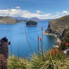
Titicaca basin
69.6 km
Sajama Lines
73.3 km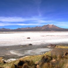
Salar de Surire
85.1 km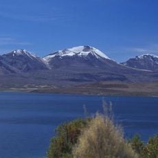
Acotango
94.8 km
Cariquima
89.2 km
Tata Sabaya
51 km
Isluga
75.6 km
Salar de Surire Natural Monument
80.4 km
Cabaray
64.3 km
Arintica
84.8 km
Lauca
82.2 km
Volcán Capurata
93 km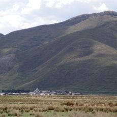
Wila Pukarani
63.2 km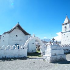
Santuario de Isluga
74.3 km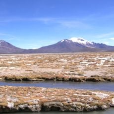
Volcán Puquintica
77.5 km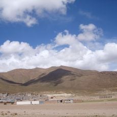
Pacha Qullu
7.7 km
Paryani
44.7 km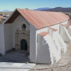
Iglesia de Sabaya
31.4 km
Arabilla
83.1 km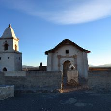
Iglesia de Achauta
70.7 km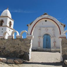
Iglesia de Cotasaya
72.4 km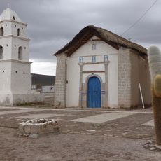
Iglesia de Cariquima
89.4 km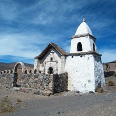
Iglesia de Caraguano
79.8 km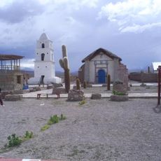
Iglesia de Cariquima
89.4 km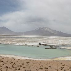
Polloquere Hot Springs
81.4 km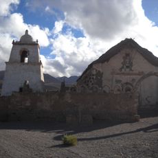
Iglesia de Mauque
91.6 km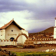
Santuario de Isluga
74.3 km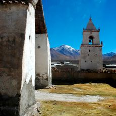
Pueblo de Isluga
74.3 kmReviews
Visited this place? Tap the stars to rate it and share your experience / photos with the community! Try now! You can cancel it anytime.
Discover hidden gems everywhere you go!
From secret cafés to breathtaking viewpoints, skip the crowded tourist spots and find places that match your style. Our app makes it easy with voice search, smart filtering, route optimization, and insider tips from travelers worldwide. Download now for the complete mobile experience.

A unique approach to discovering new places❞
— Le Figaro
All the places worth exploring❞
— France Info
A tailor-made excursion in just a few clicks❞
— 20 Minutes