
San José de Chiquitos municipality, municipality of Bolivia
Location: Chiquitos Province
Elevation above the sea: 350 m
GPS coordinates: -17.66667,-60.50000
Latest update: March 14, 2025 03:42
Chiquitania
64.7 km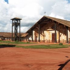
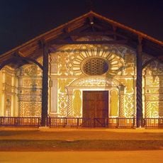
Jesuit Missions of Chiquitos
264 km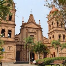
Cathedral Basilica of St. Lawrence, Santa Cruz de la Sierra
284.6 km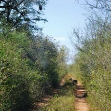
Kaa-Iya del Gran Chaco National Park and Integrated Management Natural Area
174.8 km
Jardín Botánico de Santa Cruz de la Sierra
272.7 km
Palacio de Justicia de Santa Cruz de la Sierra
284.6 km
Otuquis National Park and Integrated Management Natural Area
261.8 km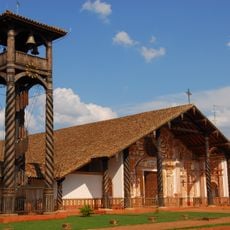
Immaculate Conception Cathedral, Concepción
235.3 km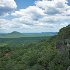
Parque nacional Histórico Santa Cruz La Vieja
34.8 km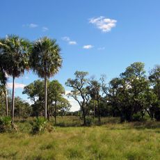
Defensores del Chaco National Park
277.9 km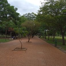
Parque Urbano Central
283.5 km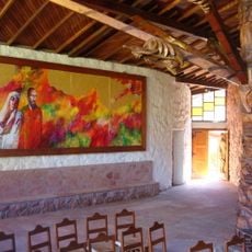
Santuario Mariano de la Torre
71.2 km
Museo de Arte Contemporáneo de Santa Cruz de la Sierra
284.1 km
San Matías Integrated Management Natural Area
184.3 km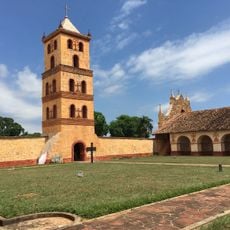
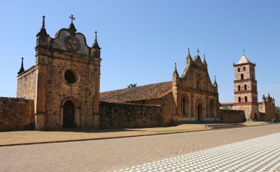
Misión de San José
32.4 km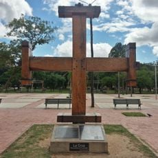
Cruz de la Cruceñidad
283.1 km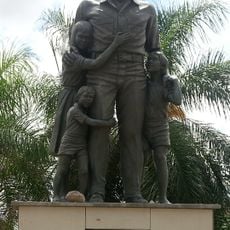
Herman Gmeiner
282.8 km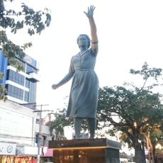
Elffy Albrecht Ibáñez
284.7 km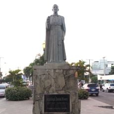
Monseñor Daniel Rivero
284.7 km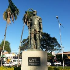
Capitán Ñuflo de Chávez
283.8 km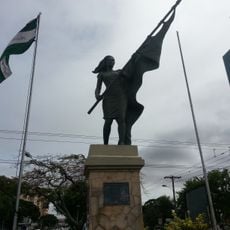
Mujer Cívica Cruceña
284.7 km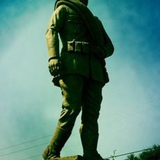
Cadete Voluntario
282.1 km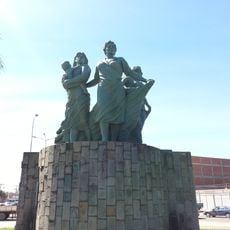
Anita Suárez de Leigue
281 km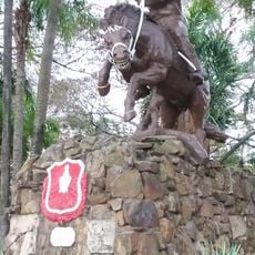
José Eustaquio Méndez
283 km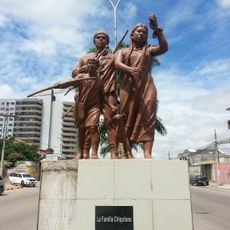
Familia Chiquitana
282.9 km
Coronel Ignacio Warnes
284.7 km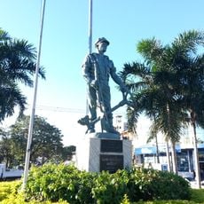
Chofer de la Guerra del Chaco
283.6 km
Plazuela Urkupiña
276.7 kmReviews
Visited this place? Tap the stars to rate it and share your experience / photos with the community! Try now! You can cancel it anytime.
Discover hidden gems everywhere you go!
From secret cafés to breathtaking viewpoints, skip the crowded tourist spots and find places that match your style. Our app makes it easy with voice search, smart filtering, route optimization, and insider tips from travelers worldwide. Download now for the complete mobile experience.

A unique approach to discovering new places❞
— Le Figaro
All the places worth exploring❞
— France Info
A tailor-made excursion in just a few clicks❞
— 20 Minutes