
Anahy, municipality of Brazil
Location: Paraná
Elevation above the sea: 651 m
Shares border with: Ubiratã, Corbélia, Iguatu
GPS coordinates: -24.64389,-53.13500
Latest update: March 3, 2025 05:31
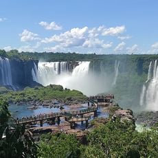
Iguaçu Falls
175.7 km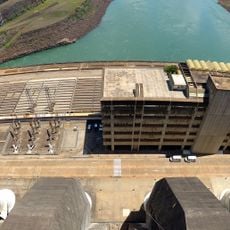
Itaipu Dam
169.6 km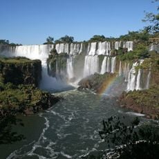
Iguazú National Park
140 km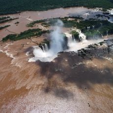
Devil's Throat
175.8 km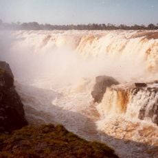
Guaíra Falls
132.7 km
Iguaçu National Park
174.6 km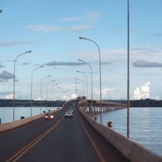
Ayrton Senna Bridge
129.5 km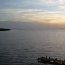
Itaipu Reservoir
140 km
Estádio Olímpico Regional Arnaldo Busatto
52.3 km
Reserva natural estricta San Antonio
166.2 km
Buddhist Temple of Foz do Iguaçu
174.2 km
Parque das Aves
173.7 km
Ilha Grande National Park
158.3 km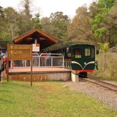
Rainforest Ecological Train
175.9 km
Omar Ibn Al-Khatab Mosque
175.2 km
Metropolitan Cathedral of Our Lady of Apparition, Cascavel
47.5 km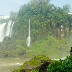
Isla de San Martín
175.6 km
Perobas Biological Reserve
96.2 km
Sierra de la Victoria
163.4 km
Geoparque Horacio Foerster
156.1 km
Área de Proteção Ambiental das Ilhas e Várzeas do Rio Paraná
129.2 km
Teatro Municipal de Toledo
62 km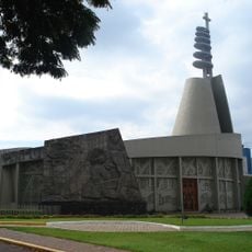
Christ the King Cathedral, Toledo
61.9 km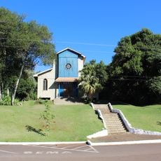
Igreja Nossa Senhora de Fátima
47 km
Iguazu National Park
161.1 km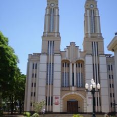
Cathedral of St. Joseph, Campo Mourão
101.8 km
Ponte Ulysses Guimarães
129.5 km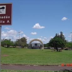
Gramadão da Vila A
173.5 kmReviews
Visited this place? Tap the stars to rate it and share your experience / photos with the community! Try now! You can cancel it anytime.
Discover hidden gems everywhere you go!
From secret cafés to breathtaking viewpoints, skip the crowded tourist spots and find places that match your style. Our app makes it easy with voice search, smart filtering, route optimization, and insider tips from travelers worldwide. Download now for the complete mobile experience.

A unique approach to discovering new places❞
— Le Figaro
All the places worth exploring❞
— France Info
A tailor-made excursion in just a few clicks❞
— 20 Minutes