Enable Location

We need your location to show you interesting places around you

Discover nearby places

Find interesting locations and hidden gems around you

Precise directions

Get accurate directions and distances to places

Your location is never shared with other users. It's only used when you tap the location button.

Chapadão do Céu

Log in to your account

Start exploring — it's free

Trusted by 61,993 travelers worldwide

Continue with Google
Continue with Apple
or

We will send you a code to connect

By continuing, you accept our Terms and Conditions and our Privacy Policy

Check your inbox

We've sent a pincode in your inbox. Please enter the code below.

Chapadão do Céu, Agricultural municipality in southwestern Goiás, Brazil

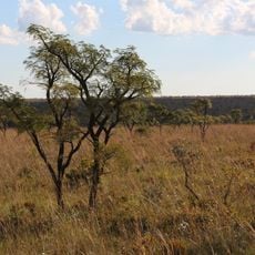
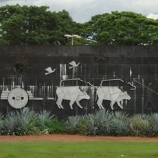
Chapadão do Céu is an agricultural municipality in southwestern Goiás spread across a broad area dedicated to farming. The landscape consists mainly of soybean and corn fields that shape the terrain and daily activities of the region.

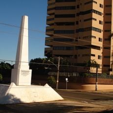
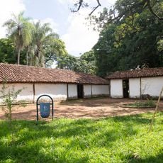
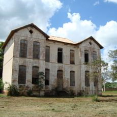
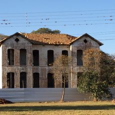
The municipality grew as an agricultural center and achieved significant economic development over the years. Its growth reflects the broader expansion of farming in the region.

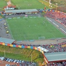
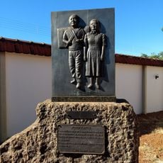
The town celebrates community through local festivals that bring people together throughout the year. These gatherings show how residents value connection and shared traditions in their daily life.

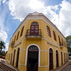
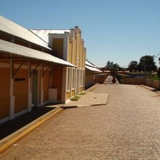
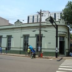
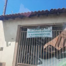
Visitors will find the town center easily accessible, where administrative services are located for basic information. The region is best explored during the dry season when access to surrounding areas is easier.

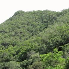
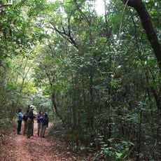
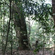
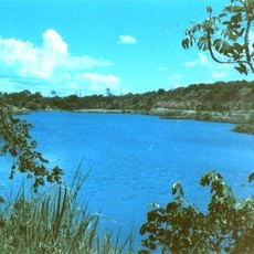
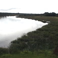
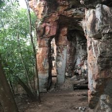
The area sits close to a major nature reserve that protects rare ecosystems and wildlife. This nearness creates an interesting contrast between intensive farming and protected natural areas.

The community of curious travelers

AroundUs brings together thousands of curated places, local tips, and hidden gems, enriched daily by 60,000 contributors worldwide.

Start exploring
Location
Elevation above the sea
840 m
Shares border with
Mineiros, Aporé, Chapadão do Sul, Costa Rica, Serranópolis
GPS coordinates
-18.39278,-52.66583
Latest update
December 7, 2025 19:22
« Chapadão do Céu - Agricultural municipality in southwestern Goiás, Brazil » is provided by Around Us (aroundus.com). Images and texts are derived from Wikimedia project under a Creative Commons license. You are allowed to copy, distribute, and modify copies of this page, under the conditions set by the license, as long as this note is clearly visible.

Discover hidden gems everywhere you go!

From secret cafés to breathtaking viewpoints, skip the crowded tourist spots and find places that match your style. Our app makes it easy with voice search, smart filtering, route optimization, and insider tips from travelers worldwide. Download now for the complete mobile experience.

Around Us App Screenshot

A unique approach to discovering new places

Le Figaro

All the places worth exploring

France Info

A tailor-made excursion in just a few clicks

20 Minutes

Around Us
Travel Guide & Maps
Download

Send to your phone

QR Code
1

Open the camera app on your mobile.

2

Point at the QR code with your camera. A notification will appear.

3

Tap the notification to open the link.