Enable Location

We need your location to show you interesting places around you

Discover nearby places

Find interesting locations and hidden gems around you

Precise directions

Get accurate directions and distances to places

Your location is never shared with other users. It's only used when you tap the location button.

Bom Retiro

Log in to your account

Start exploring — it's free

Trusted by 61,510 travelers worldwide

Continue with Google
Continue with Apple
or

We will send you a code to connect

By continuing, you accept our Terms and Conditions and our Privacy Policy

Check your inbox

We've sent a pincode in your inbox. Please enter the code below.

Bom Retiro, Municipality in Santa Catarina, Brazil

Description

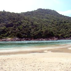
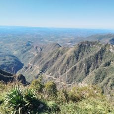
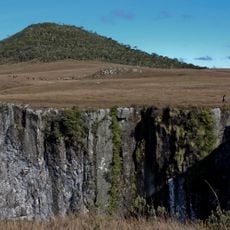
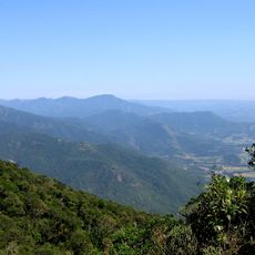
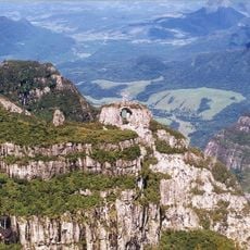
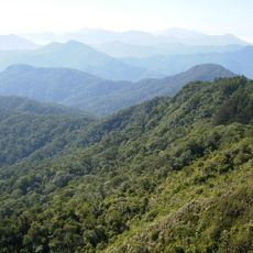
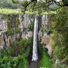
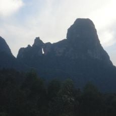
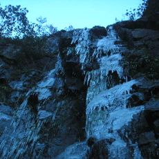
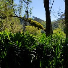
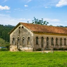
Bom Retiro is a municipality in Santa Catarina situated at an elevation of about 890 meters and covering roughly 1,055 square kilometers. The area is characterized by rolling terrain and mountain landscapes covered with forests and grasslands.

History

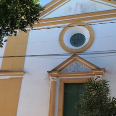
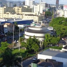
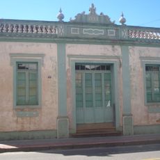
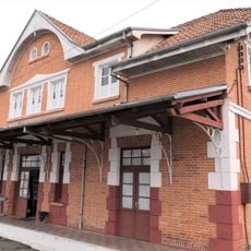
The municipality was founded and named from the Portuguese phrase meaning "good retreat," reflecting settlement of this remote mountain region. It developed into an important administrative center for the surrounding highland area.

Culture

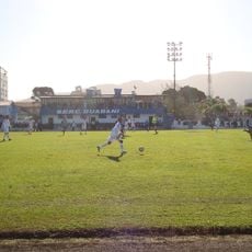
The town reflects a mountain community lifestyle, where people maintain traditions tied to highland living and seasonal agricultural cycles. Local customs show the influence of early settlers who adapted their practices to the cooler, elevated terrain.

Practical

The municipality can be reached through various road connections, positioned roughly 266 kilometers from Curitiba and 556 kilometers from São Paulo. Access is easier during drier seasons, as the mountain roads can become slippery in heavy rain.

Did you know?

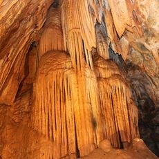
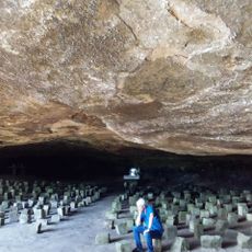
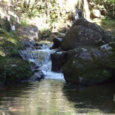
The mountain ranges Serra do Campo Novo and Serra da Anta Gorda offer numerous paths for hiking and horseback riding through natural vegetation. These less-traveled routes allow visitors to explore the original landscape away from crowded tourist areas.

Location
Elevation above the sea
890 m
Shares border with
Urubici, Rio Rufino, Alfredo Wagner, Anitápolis, Bocaina do Sul, Chapadão do Lageado, Otacílio Costa, Petrolândia
GPS coordinates
-27.79694,-49.48889
Latest update
December 7, 2025 20:47

AroundUs brings together thousands of curated places, local tips, and hidden gems, enriched daily by 60,000 contributors worldwide. Discover all places nearby (Santa Catarina).

« Bom Retiro - Municipality in Santa Catarina, Brazil » is provided by Around Us (aroundus.com). Images and texts are derived from Wikimedia project under a Creative Commons license. You are allowed to copy, distribute, and modify copies of this page, under the conditions set by the license, as long as this note is clearly visible.

Discover hidden gems everywhere you go!

From secret cafés to breathtaking viewpoints, skip the crowded tourist spots and find places that match your style. Our app makes it easy with voice search, smart filtering, route optimization, and insider tips from travelers worldwide. Download now for the complete mobile experience.

Around Us App Screenshot

A unique approach to discovering new places

Le Figaro

All the places worth exploring

France Info

A tailor-made excursion in just a few clicks

20 Minutes

Around Us
Travel Guide & Maps
Download

Send to your phone

QR Code
1

Open the camera app on your mobile.

2

Point at the QR code with your camera. A notification will appear.

3

Tap the notification to open the link.