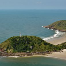
Ilha do Cardoso, Protected island in São Paulo coast, Brazil
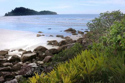
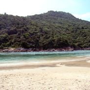
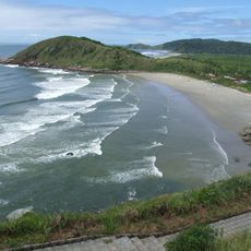
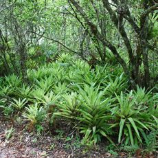
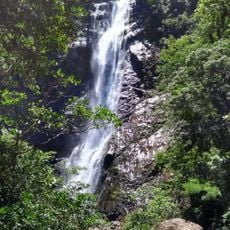
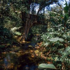
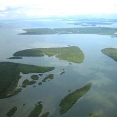
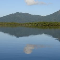
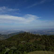
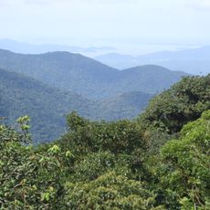
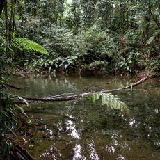
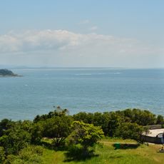
Ilha do Cardoso is a protected island off São Paulo's coast with diverse habitats including Atlantic Forest, mangroves, marshes, beaches, and hilly terrain. The landscape shifts from flat coastal areas to elevated ground in the interior.
The island served as a key survey point during early European exploration, with Amerigo Vespucci using it as a boundary marker in 1501. This marking helped document the division of newly encountered lands between European powers.
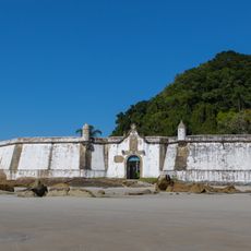
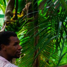
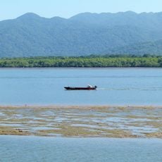
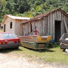
The Caiçara residents here follow ancestral ways, practicing traditional fishing tied to the coastal rhythms that shape their daily lives. Their presence reflects a long relationship between communities and this coastal land.
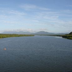
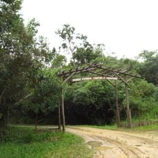
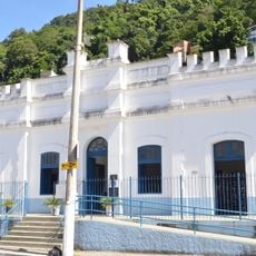
Access requires a boat journey from Cananéia, with transport options varying based on weather and season. Visitors should prepare for natural conditions and follow local guidelines for the island.
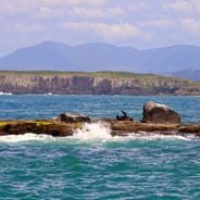
The waters surrounding this island are home to river dolphins that can move between ocean and freshwater river environments. These rare mammals are a special marker of the rich marine life here.
Location: São Paulo
Elevation above the sea: 589 m
GPS coordinates: -25.13167,-47.96639
Latest update: December 6, 2025 17:45
The South Region of Brazil brings together nature reserves, waterfalls, beaches, and mountain peaks. Here you find geological formations such as canyons and caves, plus islands with archaeological sites. The landscape ranges from the Atlantic coast to inland highlands, where subtropical rainforest...
Southeast Brazil spans the states of São Paulo, Rio de Janeiro, Minas Gerais and Espírito Santo, offering coastal landscapes, mountain villages, caves and waterfalls. The region preserves colonial-era trails, grottos with underground formations and islands with light visitor traffic. Sites show how...
Ilha do Mel
56.5 km
Ilha do Cardoso State Park
6 km
Fortaleza de Nossa Senhora dos Prazeres
54.8 km
Ilha do Mel State Park
58.4 km
Superagüi National Park
31.2 km
Guaraqueçaba Environmental Protection Area
43.9 km
Basilica of Our Lady of the Snows, Iguape
62.6 km
Salto Morato Private Natural Heritage Reserve
33.6 km
Guaraqueçaba Ecological Station
50.1 km
Jacupiranga State Park
48.5 km
Cananéia-Iguape e Peruíbe Environmental Protection Area
32.7 km
Lagamar de Cananéia State Park
24.2 km
Ilha do Mel Ecological Station
56.7 km
Cajati Environmental Protection Area
45.8 km
Serra do Mar Ecological Corridor
56.7 km
Ilha Comprida Environmental Protection Area
41.6 km
Jacupiranga Mosaic
40.4 km
Campina do Encantado State Park
57.8 km
Sebuí Private Natural Heritage Reserve
30 km
Casa Elfrida Lobo
69.6 km
Iate Park
61.1 km
Conchas Lighthouse
55.9 km
Igreja Matriz de Cananéia
13.5 km
Igreja da Irmandade de São Benedito
70 km
Igreja do Rosário
62.4 km
Historic center of Cananeia
13.5 km
Quilombo Mandira
14.7 km
Historic center of Iguape
62.6 kmVisited this place? Tap the stars to rate it and share your experience / photos with the community! Try now! You can cancel it anytime.
Discover hidden gems everywhere you go!
From secret cafés to breathtaking viewpoints, skip the crowded tourist spots and find places that match your style. Our app makes it easy with voice search, smart filtering, route optimization, and insider tips from travelers worldwide. Download now for the complete mobile experience.
A unique approach to discovering new places❞
— Le Figaro
All the places worth exploring❞
— France Info
A tailor-made excursion in just a few clicks❞
— 20 Minutes