Vila Andrade District, Administrative district in southern São Paulo, Brazil.
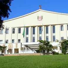
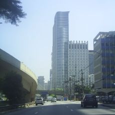
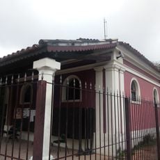
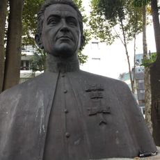
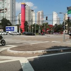
Vila Andrade is an administrative district in southern São Paulo spanning roughly 10 square kilometers, bordered by areas such as Morumbi, Vila Sônia, and Santo Amaro. The area consists mainly of residential neighborhoods with a mix of housing types and infrastructure typical of an urban district at the edge of a major city.
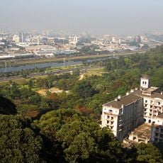
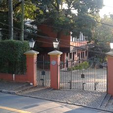
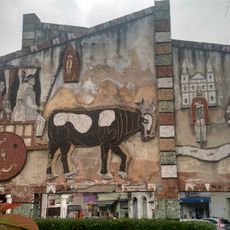
The area transformed from farmland into an urban settlement, experiencing significant population growth throughout the 20th century. This conversion reflects the larger expansion of São Paulo, as rural lands were converted into urban spaces.
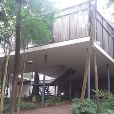
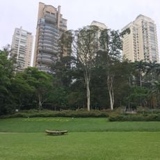
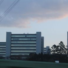
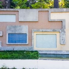
The district shows a mix of single-family homes alongside apartment buildings, reflecting the social diversity of southwestern São Paulo. This mixed housing structure shapes the everyday character of the neighborhoods and reveals how different social groups live side by side.
The area connects to São Paulo's transportation network through multiple bus lines providing regular service between residential neighborhoods and commercial hubs. Visitors should expect longer travel times as it is a peripheral region, and public transportation is the primary way to get around.
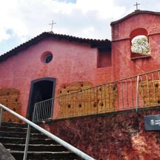
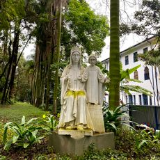
The area contains several parks and green spaces that contrast with the denser urban development of surrounding neighborhoods. These patches of greenery offer residents and visitors quieter spots amid daily urban life.
The community of curious travelers
AroundUs brings together thousands of curated places, local tips, and hidden gems, enriched daily by 60,000 contributors worldwide.