Magé, Municipality in Rio de Janeiro, Brazil
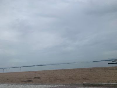
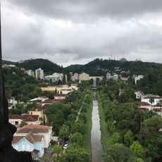
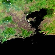
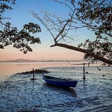
Magé is a municipality along the shore of Guanabara Bay in Rio de Janeiro state with hills covered by Atlantic Forest and flat areas near the waterfront. The center sits between green slopes and lowlands where several rivers cross the urban area and wetlands form in the lower zones.
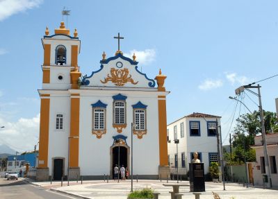
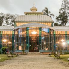
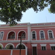
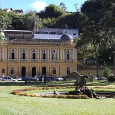
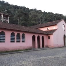
Portuguese settlers founded the place in the late 16th century as a base for sugarcane plantations along the rivers. The railway reached the area in the 19th century and connected the agricultural zones to the port of Rio de Janeiro.
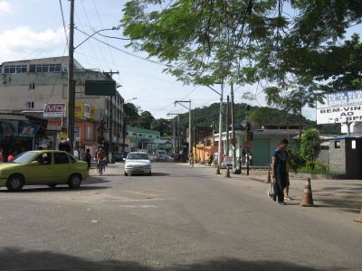
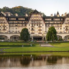
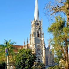
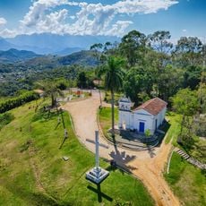
The name comes from an indigenous word and refers today to a territory divided into many small districts that spread over valleys and hillsides. Visitors notice a mix of rural zones with sugarcane fields and urban neighborhoods where weekly markets sell fresh produce and local goods.
Buses run between the center and outer neighborhoods several times daily and also connect nearby towns with stops near churches and market squares. Visitors planning to explore the forested areas should bring sturdy footwear and check local weather conditions as rain can make unpaved trails slippery.
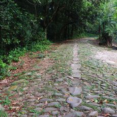
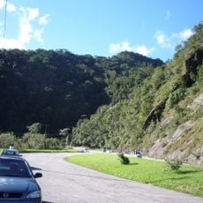
Part of the municipality lies within a large protected area covering almost 14000 hectares of tropical forest and river courses that still serve as a water source for surrounding regions. Hikers discover rare bird species there and waterfalls surrounded by dense greenery.
The community of curious travelers
AroundUs brings together thousands of curated places, local tips, and hidden gems, enriched daily by 60,000 contributors worldwide.